
TripsPeruCusco

Huayhuash Circuit: The Complete 14-Day Trek

Cusco
13 Nights·14 Days

Overview

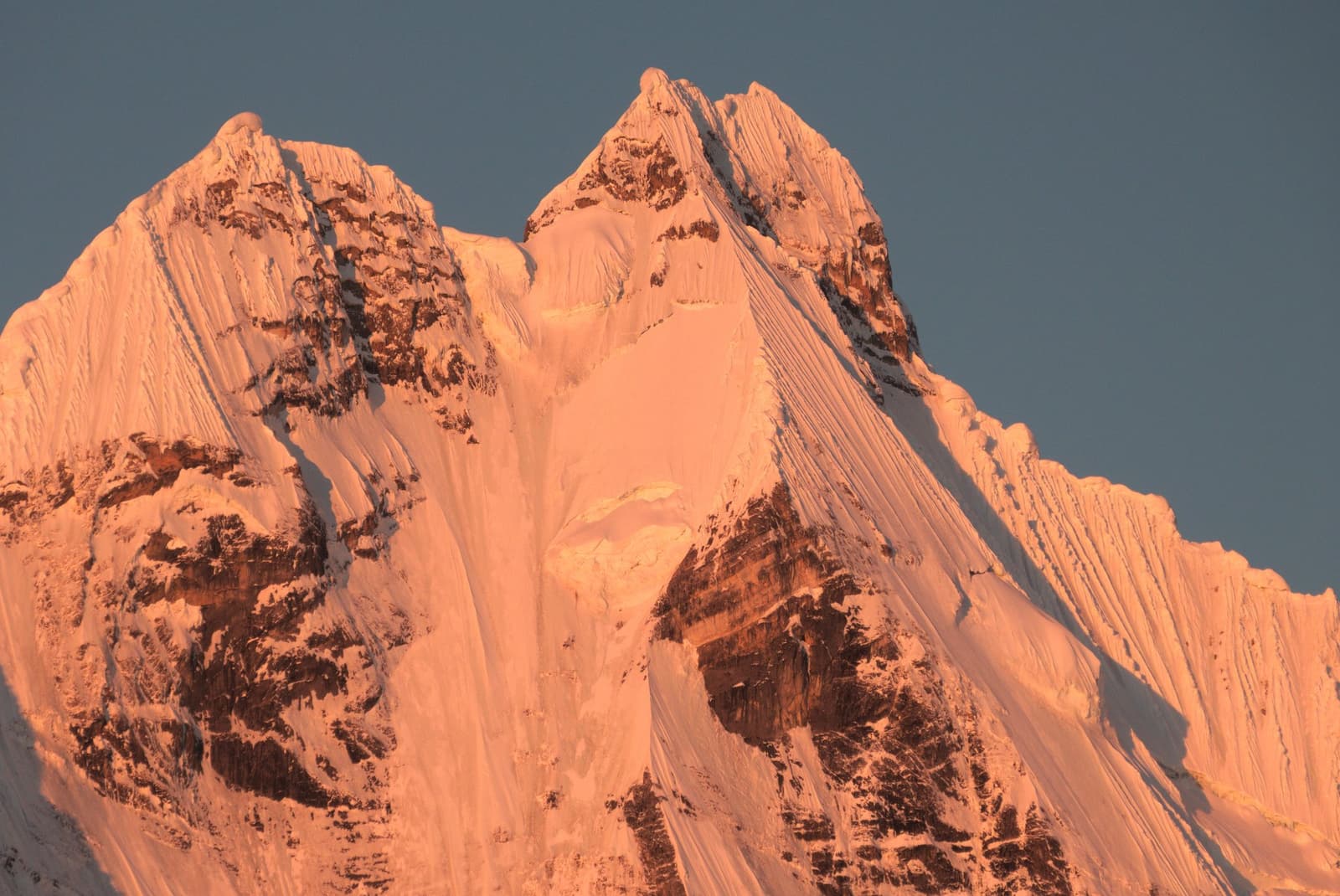
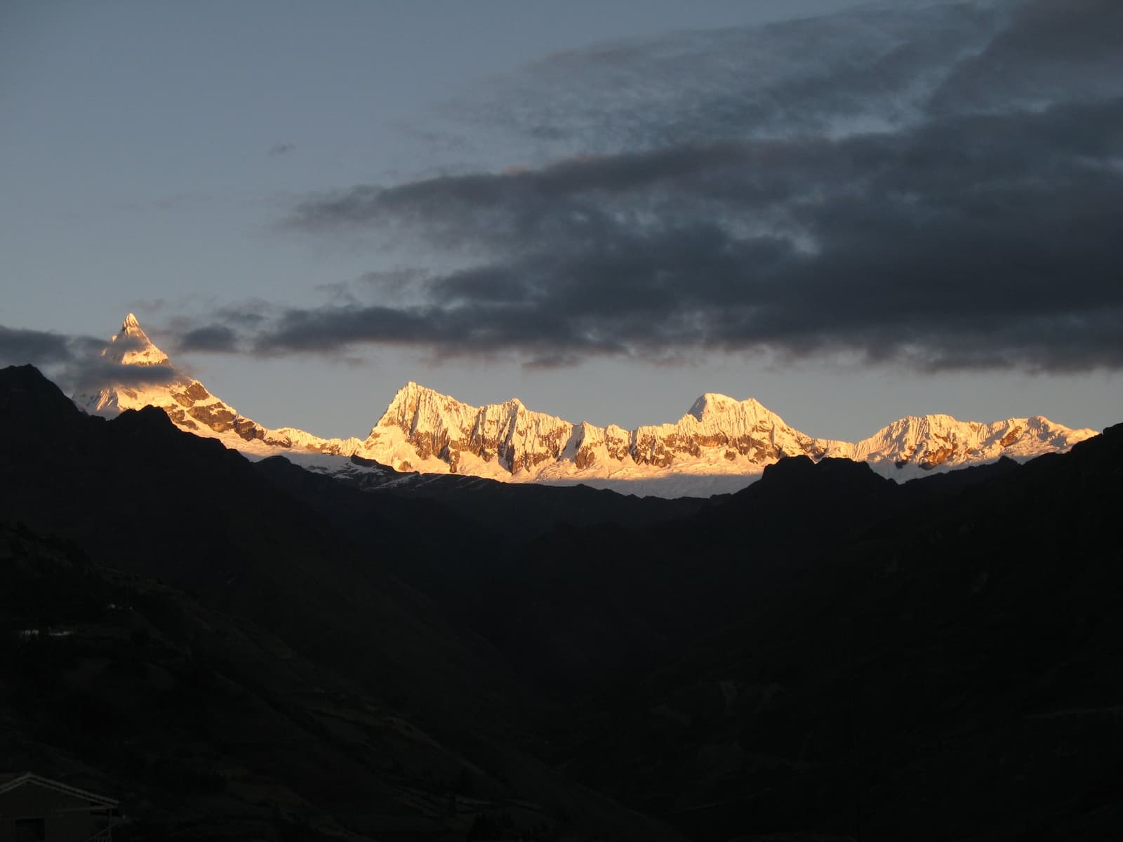
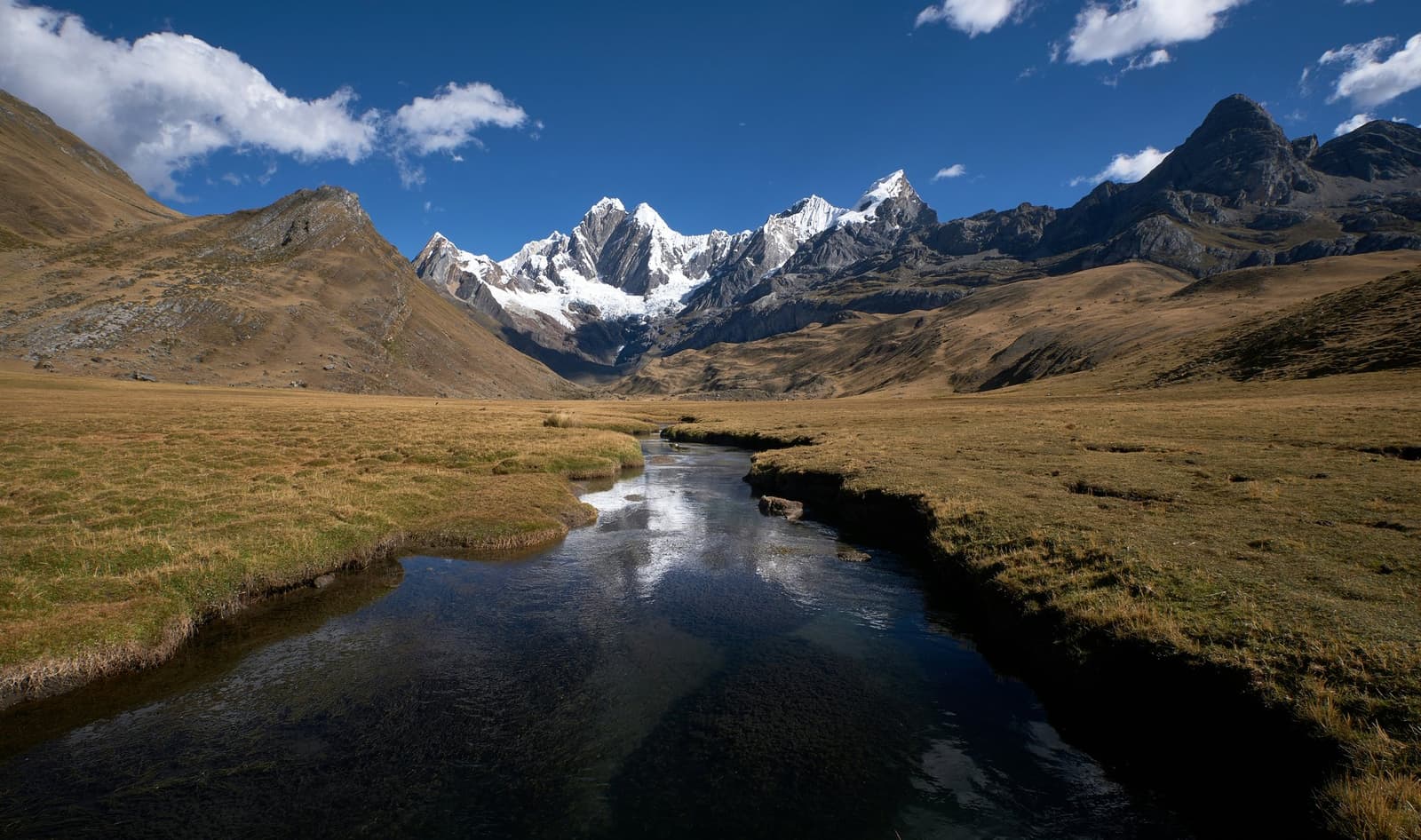
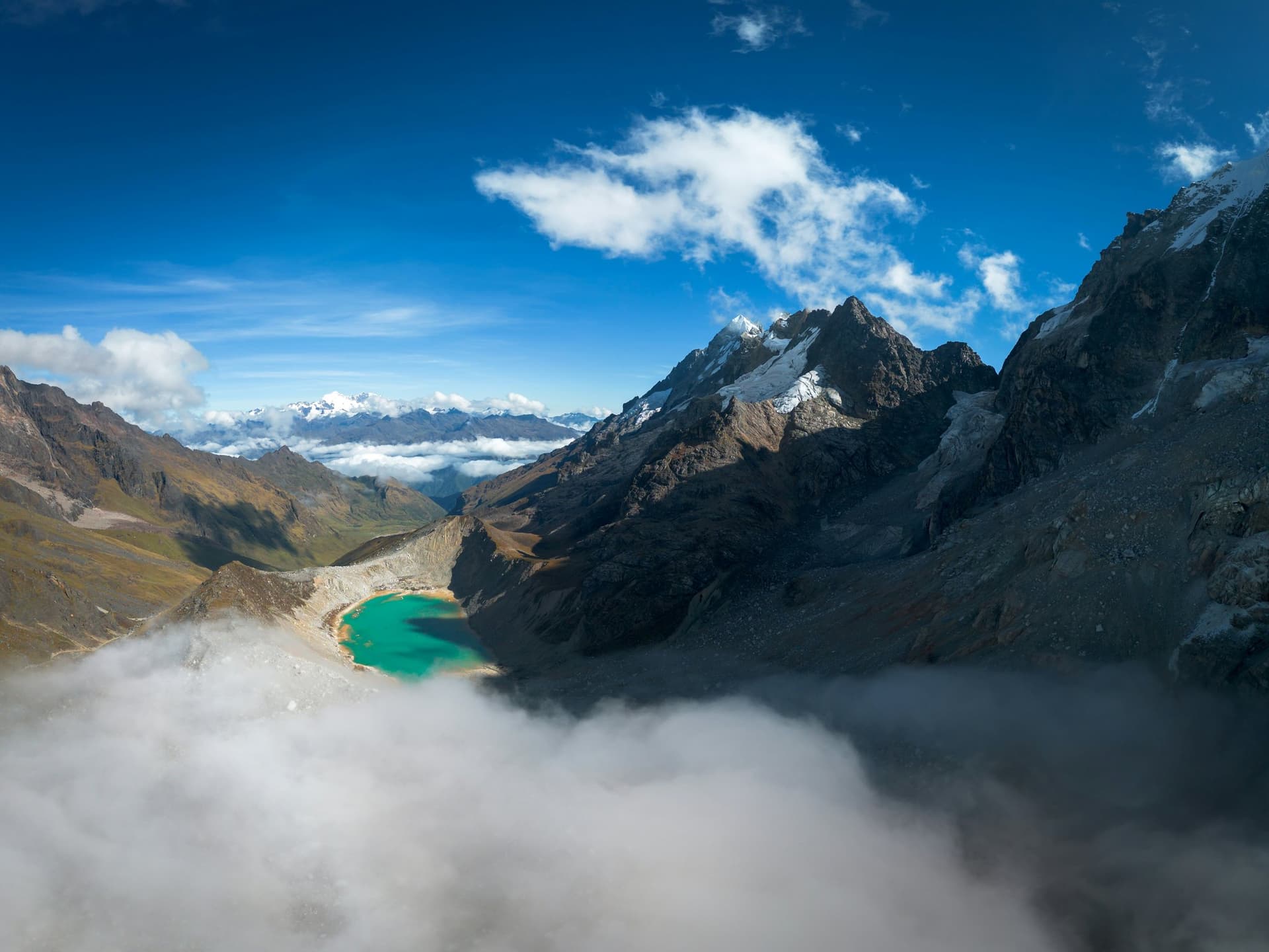
Considered as one of the best and most beautiful trekking routes in the world, the Huayhuash Circuit offers an unforgettable journey through the remote Peruvian Andes. Located in the Cordillera Huayhuash, this challenging, adventure-packed 14-day itinerary immerses hikers in high-altitude alpine landscapes across 92 kilometers. The first two days are acclimatization hikes from Huaraz to Lake Wilcacocha and to the Portachuelo de Llanganuco viewpoint, facing the Cordillera Blanca.

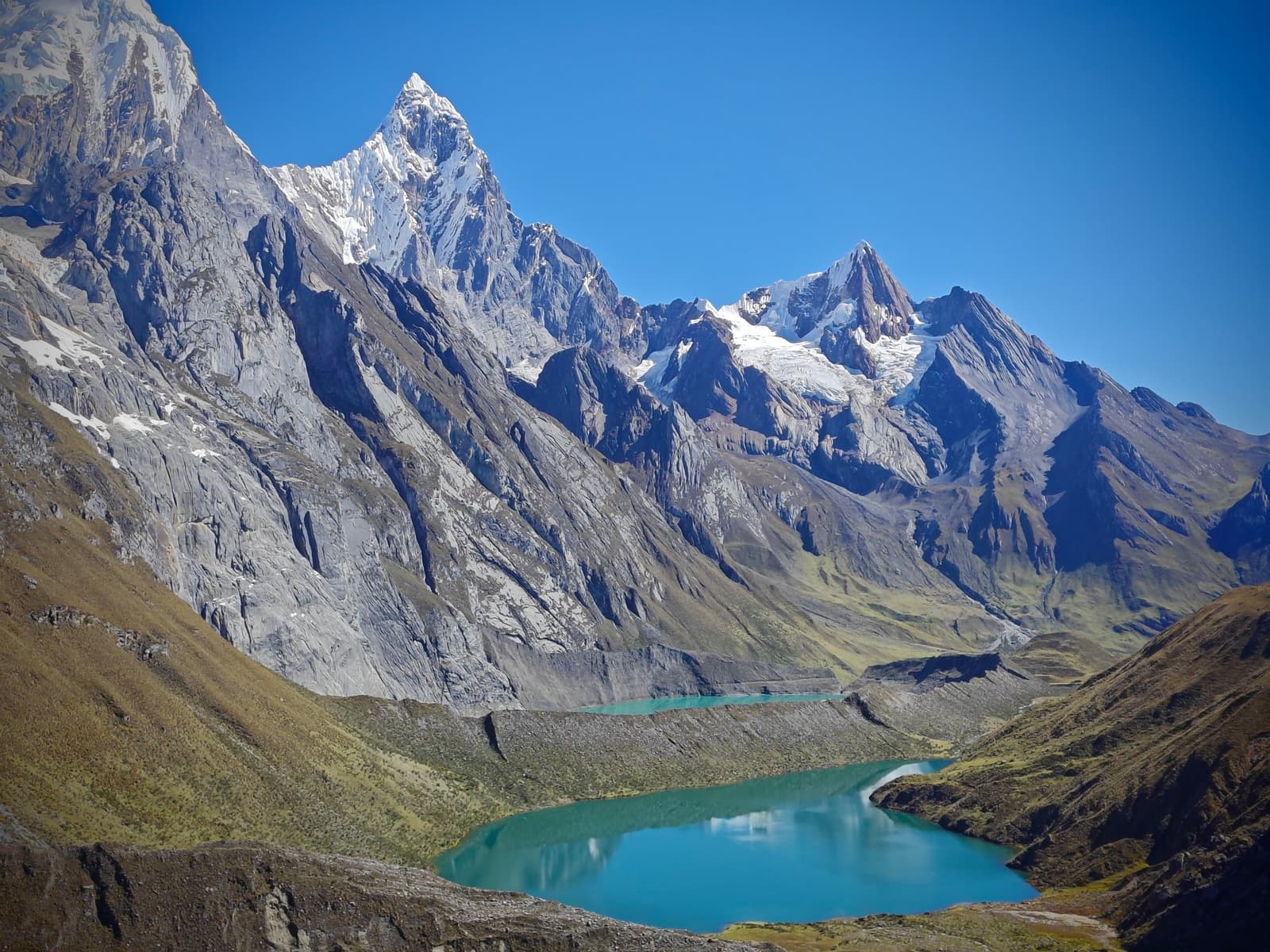
The route winds through several mountain passes that reach over 5,000 meters. Trekkers experience the trail’s beauty as they walk beside iconic postcards like the peaks of Yerupajá, Siula Grande, and Trapecio. Along the way, the path reveals glacial lakes such as Mitucocha, Carhuacocha, and Jahuacocha. From steep rocky descents and glacier moraines to lower valleys like Huayllapa, the shifting scenery keeps the hike beautifully diverse.

Enjoy an authentic and fully immersive experience with eleven nights of camping amidst diverse landscapes, such as alpine lakes and grassy valleys, on a trip led by professional bilingual guides with decades of experience in the Andes. Everything you need for an unforgettable vacation!

  • Full itinerary: two acclimatization hikes from Huaraz (Lake Wilcacocha and Portachuelo de Llanganuco); the drive from Huaraz to the Rondoy Valley; eight passes (Cacananpunta, Carhuac, Siula, Trapecio, Santa Rosa, Punta Tapush, Yaucha, and Mancanpunta); lakes Mitucocha, Carhuacocha, Siula, and Jahuacocha; village of Huayllapa; two rest days with optional hikes.
  • Acclimatize on two day hikes from Huaraz before the circuit: Lake Wilcacocha, facing the Cordillera Blanca, and the Portachuelo de Llanganuco viewpoint at 4,707 m (15,443 ft), below Huascarán.
  • Cross two passes above 5,000 m on consecutive days: Trapecio at 5,020 m (16,470 ft) and Santa Rosa at 5,057 m (16,591 ft).
  • Walk beside Yerupajá, 6,634 m (21,765 ft), the highest mountain of the range and the second highest in Peru, and watch the first light reach it from the Carhuacocha camp.
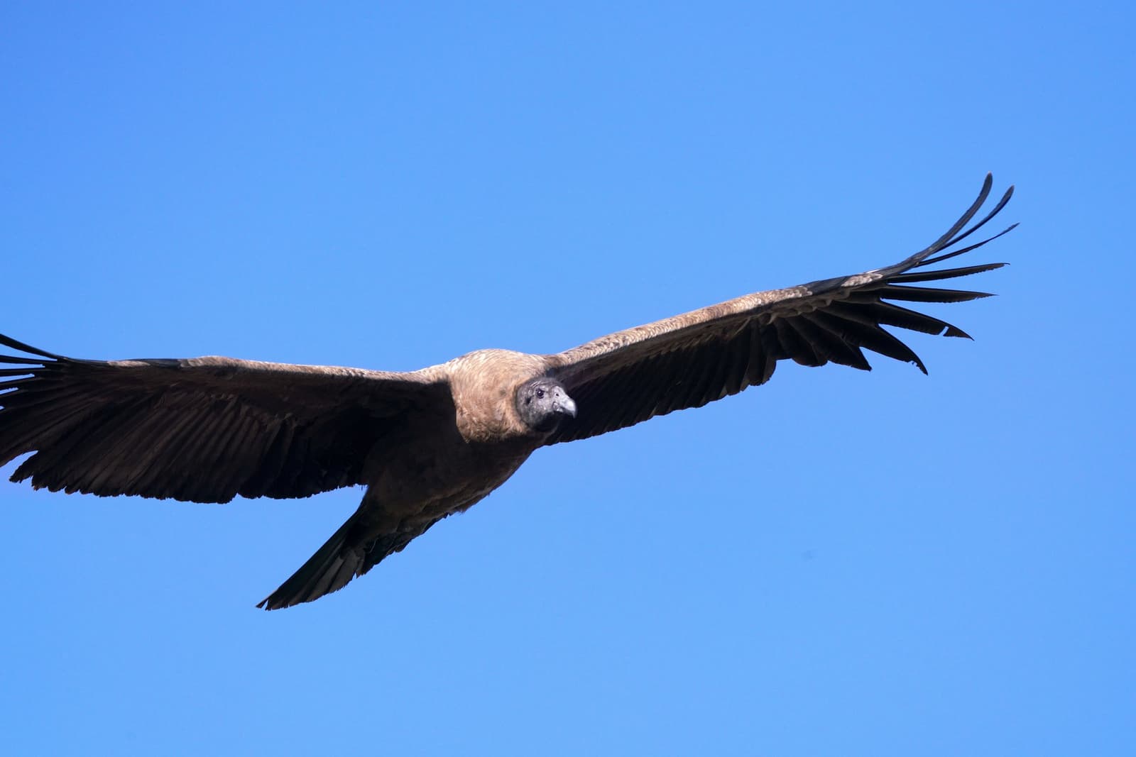
  • Look for Andean condors at Cacananpunta and Yaucha passes, and for puna ibis and Andean geese at Jahuacocha.
  • Sleep 11 nights in camp above 4,000 m, including two nights at Cutatambo and two at Lake Jahuacocha.
  • Activities guided by a certified bilingual local guide, with a cook, field staff, and horse drivers in support.
  • All-inclusive experience: private transfer from and back to Huaraz, 2 hotel nights in Huaraz, 11 camp nights in double tents, all meals on the trek, pack horses with their drivers, entrance tickets, a cook, and a bilingual guide.
  • Please note: Hiking times are approximate. Your guide may adjust the pace, the route, and the optional hikes for weather, trail conditions, and how the group is handling the altitude.

Itinerary

Day 1

Huaraz / Lake Wilcacocha

  • DriveHuaraz → Rumichuco bridge · 20 min
  • HikeRumichuco bridge → Lake Ararcocha → Lake Wilcacocha · 4h
  • Lake Wilcacocha· 3,725 m (12,221 ft) · Views of the Cordillera Blanca and Huascarán

The first of two acclimatization days starts with a 20-minute drive from Huaraz to the Rumichuco bridge. From there, a gradual climb of about 4 hours passes adobe houses and Quechua farming communities on the way to Lake Ararcocha, at 3,693 m (12,116 ft), and Lake Wilcacocha, at 3,725 m (12,221 ft).

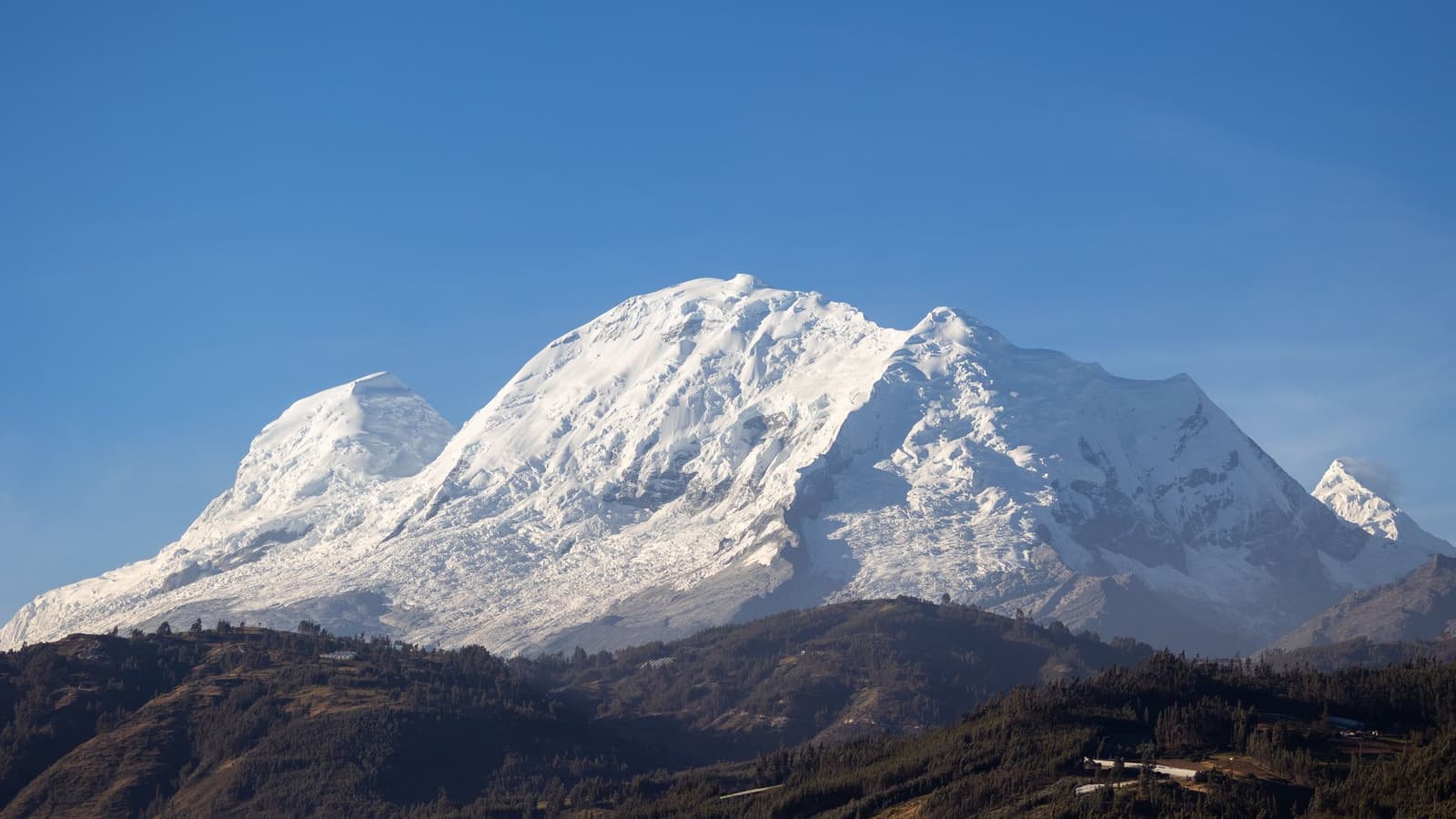
The lakes face the Cordillera Blanca and Huascarán, at 6,768 m (22,204 ft) the highest mountain in Peru. After a box lunch by the lake, the vehicle picks the group up for the drive back to the hotel in Huaraz.

Meals included: Lunch
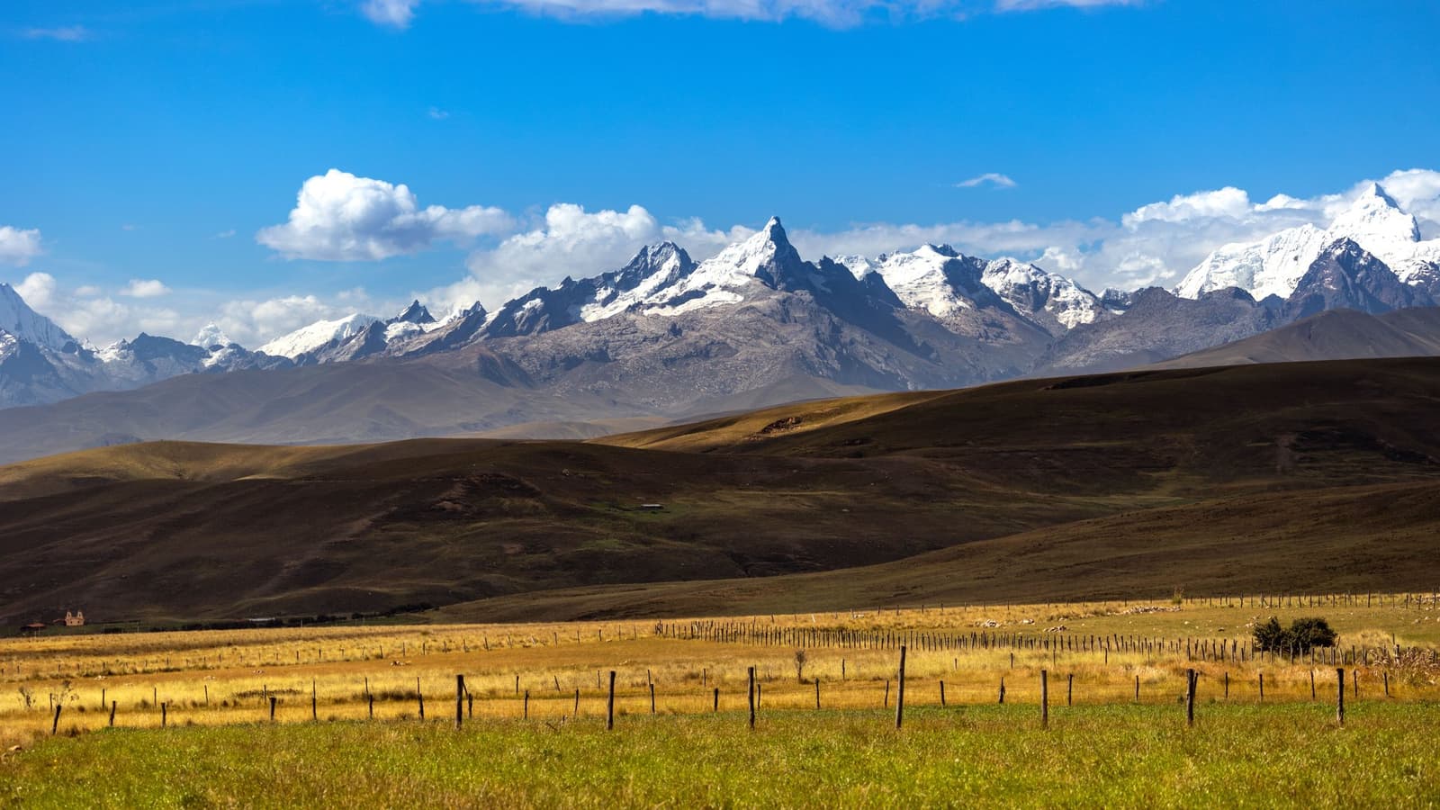
Photo 1
Photo 2

Day 2

Huaraz / Portachuelo de Llanganuco

  • DriveHuaraz → Carhuaz → Yungay → Llanganuco · Private bus
  • Portachuelo de Llanganuco· 4,707 m (15,443 ft) · Huascarán, Huandoy, Pisco, Chacraraju, and Chopicalqui
  • HikePortachuelo de Llanganuco → Inca trail descent · 2h

A private bus heads north from Huaraz through Carhuaz, whose market fills the streets on Wednesdays and Sundays, to the Campo Santo de Yungay, the memorial to the 1970 earthquake and avalanche that killed 28,000 people.

The road then enters Huascarán National Park and climbs past the Chinancocha and Orconcocha lakes to the Portachuelo de Llanganuco viewpoint, at 4,707 m (15,443 ft), facing Huascarán, Huandoy, Pisco, Chacraraju, and Chopicalqui. A descent of about 2 hours on an Inca trail leads to lunch, then the drive back to the hotel in Huaraz.

Meals included: Breakfast / Lunch

Photo 1
Photo 2

Day 3

Huaraz / Chiquian Viewpoint / Llamac / Cuartelhuain Camp

  • DriveHuaraz → Chiquian → Llamac → Pocpa → Cuartelhuain · 162 km (100.6 mi) · 5h
  • Viewpointabove Chiquian · First view of the range and of Yerupajá
  • OvernightCuartelhuain camp · 4,170 m (13,681 ft)

The trek leaves Huaraz early in the morning. About two hours south on the paved road, stop at a viewpoint near the town of Chiquian for a first look at this side of the range, including Yerupajá.

A dirt road then leads to Llamac, the usual entry village, past Pocpa and the Pallca mine to the mouth of the Rondoy Valley at 4,050 m (13,287 ft). Here, the land opens into rolling grassland under the snow peaks. Camp is set up at Cuartelhuain. No hiking today.

Meals included: Breakfast / Lunch / Dinner

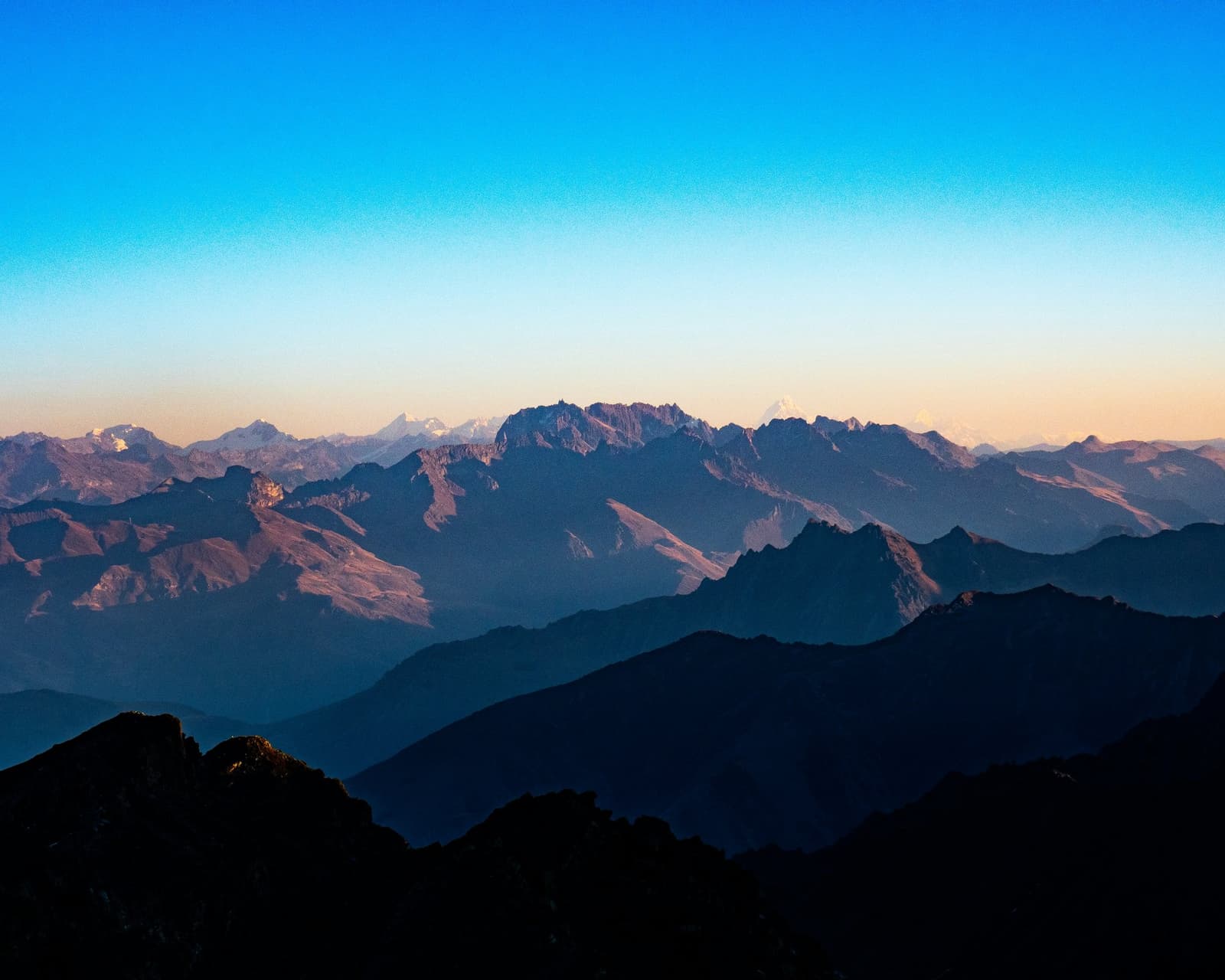
Layered silhouettes of high Andean ridgelines recede into the distance under a clear blue sky fading to warm peach at the horizon, with snow-capped peaks visible on the cordillera huayhuash in the far background
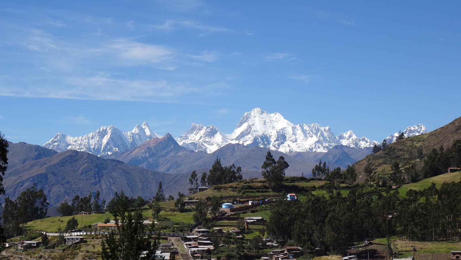
A small Andean village with terracotta-roofed houses and eucalyptus trees sits in a green valley, with the snow-capped peaks of the cordillera huayhuash filling the horizon under a clear blue sky.

Day 4

Cacananpunta Pass / Janca Camp / Optional Walk to Lake Mitucocha

  • Cacananpunta Pass· 4,650 m (15,256 ft) · On the Continental Divide
  • HikeCuartelhuain → Cacananpunta Pass → Janca · 8.3 km (5.2 mi) · 5–6h
  • OvernightJanca camp · 4,230 m (13,877 ft)

The first walking day of the Huayhuash Circuit opens with Cacananpunta Pass, at the northern end of the massif. Situated on the Continental Divide, this pass marks the point where water flows eastward toward the Amazon Basin and Atlantic Ocean. The area is also frequently visited by Andean condors.

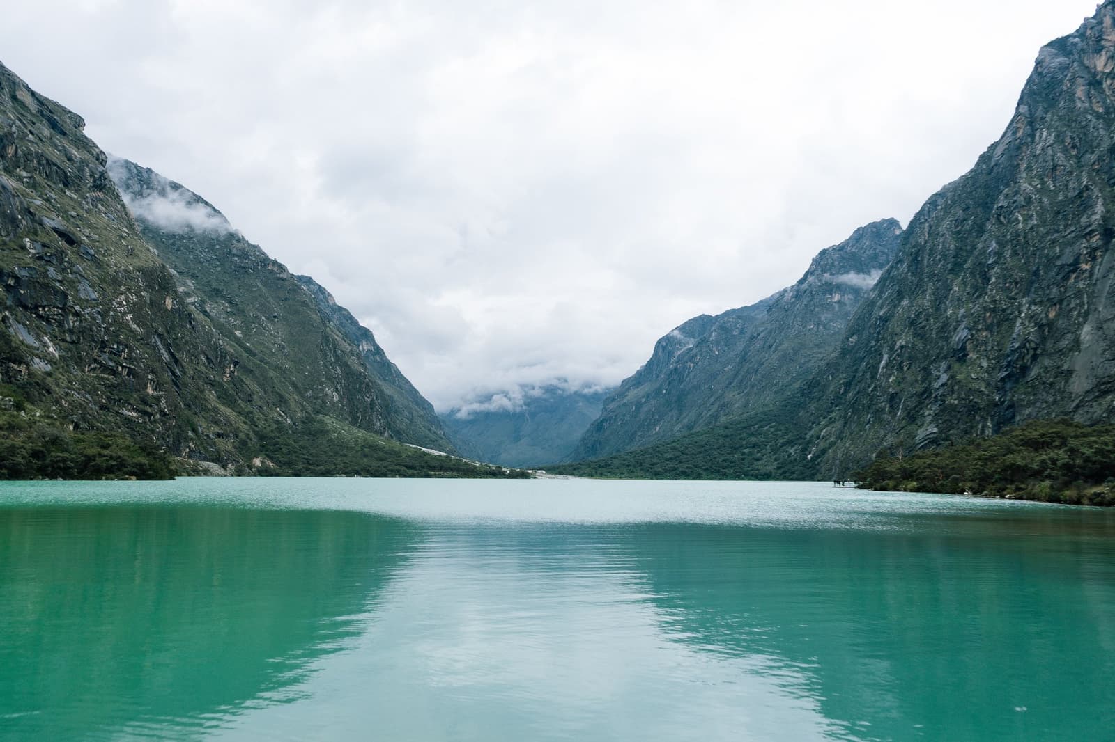
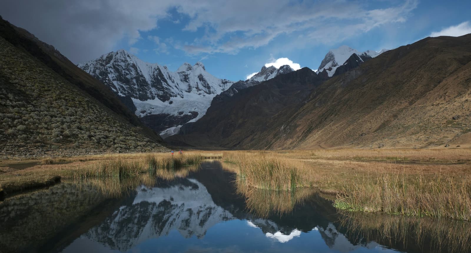
A rough descent over multicolored ground leads to a flat, grassy campsite at Janca. The day is short on purpose to help you acclimatize. If you have energy left, walk to turquoise Lake Mitucocha, which reflects the peaks of Ninashanca, Rondoy, and Jirishanca.

Meals included: Breakfast / Lunch / Dinner

A still alpine pond on the huayhuash circuit reflects a row of jagged, snow-capped peaks rising above a broad high-altitude valley, with golden puna grassland and reed clumps in the foreground and two tiny trekkers visible in the middle distance
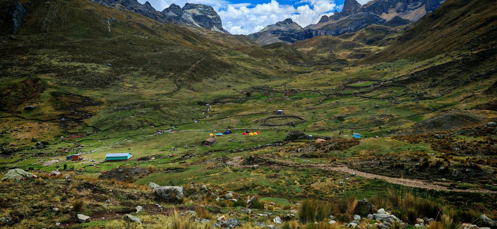
A wide Andean valley on the huayhuash circuit showing a small trekking camp with colorful tents and stone-walled enclosures on green puna grassland, surrounded by rugged rocky peaks under a partly cloudy sky

Day 5

Carhuac Pass / Lake Carhuacocha

  • Carhuac Pass· 4,625 m (15,174 ft) · Views of Yerupajá
  • HikeJanca → Carhuac Pass → Carhuacocha · 9.8 km (6.1 mi) · 5–6h
  • OvernightCarhuacocha camp · 4,152 m (13,622 ft)

The climb to Carhuac Pass is longer than yesterday’s but not very steep. From the top, see Yerupajá at 6,634 m (21,765 ft), the highest mountain of the range.

The trail then drops to the rim of a hanging valley, where you look down on the blue-green water of Lake Carhuacocha. Camp is below the lake, ringed by peaks and hanging glaciers.

Meals included: Breakfast / Lunch / Dinner

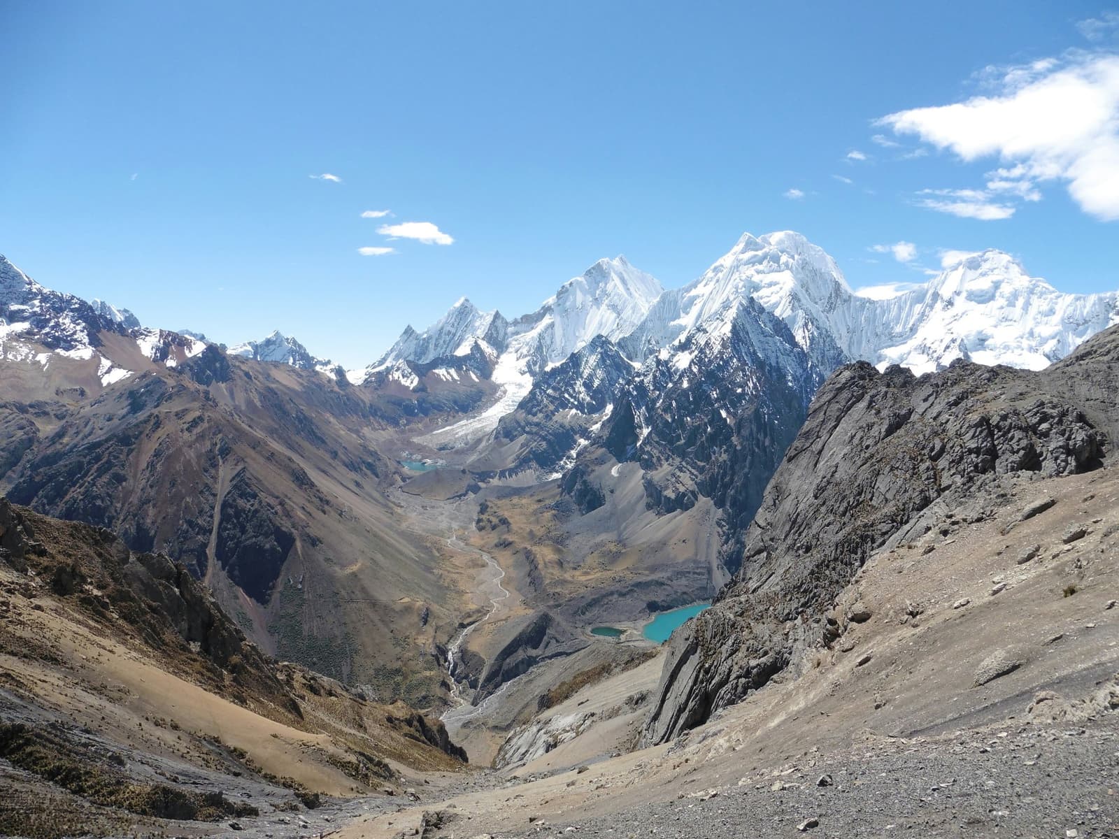
Wide aerial view of the huayhuash circuit looking down a high-altitude glacial valley with two turquoise lakes, a braided meltwater stream, and snow-capped Andean peaks rising against a clear blue sky
A large dark-winged vulture with a pale buff neck ruff soaring against a clear blue sky on the huayhuash circuit, wings fully extended and primary feathers splayed at the tips

Day 6

Sunrise at Carhuacocha / Three Lakes / Siula Pass / Huayhuash Camp

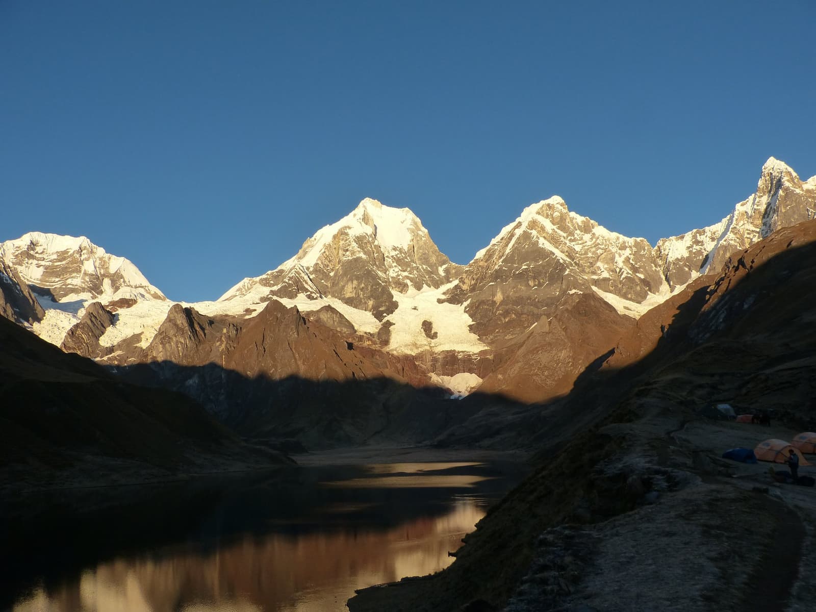
  • Optional sunrisefrom camp · First light on Yerupajá over the lake
  • Siula Pass· 4,810 m (15,781 ft)
  • HikeCarhuacocha → Siula Pass → Huayhuash · 14 km (8.7 mi) · 8–9h
  • OvernightHuayhuash camp · 4,340 m (14,238 ft)

Photographers can get up before dawn for sunrise over the lake, seen from camp. After breakfast, a long and gradual climb leaves the green valley beside Yerupajá, Yerupajá Chico, Siula Grande, Jirishanca, Santa Rosa, and Carnicero.

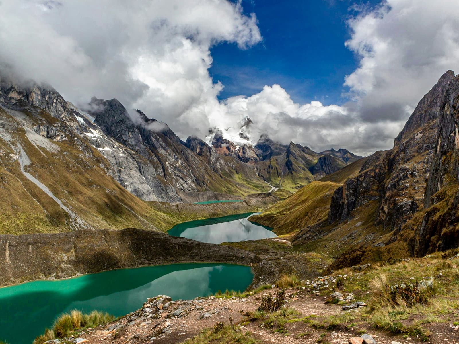
The trail passes three lakes (Gangrajanca, Siula, and Quesillacocha) before a steep final climb to the rocky Siula Pass. Then, descend to the Huayhuash campsite, at the foot of Mount Trapecio and the three Jurau peaks.

This is one of the two longest days of the Huayhuash Circuit trek, at 8 to 9 hours.

Meals included: Breakfast / Lunch / Dinner

Three turquoise glacial lakes stretching through a high-altitude valley on the huayhuash circuit, flanked by rocky Andean peaks partially wrapped in cloud and snow
Golden early light on snow-capped peaks of the huayhuash circuit reflected in a still glacial lake, with colorful expedition tents pitched on the rocky shore in the foreground

Day 7

Trapecio Pass / Glacier Moraine / Pampa Cuyoc

  • Trapecio Pass· 5,020 m (16,470 ft) · First pass above 5,000 m
  • HikeHuayhuash → Trapecio Pass → Pampa Cuyoc · 11.4 km (7.1 mi) · 7–8h
  • OvernightPampa Cuyoc camp · 4,511 m (14,800 ft)

Climb 680 m (2,230 ft) to Trapecio Punta, the fourth pass of the Huayhuash Circuit. The view takes in Trapecio, Puscanturpa, and the southern peaks of the neighboring Cordillera Raura.

The way down starts with a very steep, rocky descent of about 250 m (820 ft), followed by a traverse of an old glacier moraine. Camp is in a grassy valley at the foot of Cuyoc Peak.

Meals included: Breakfast / Lunch / Dinner

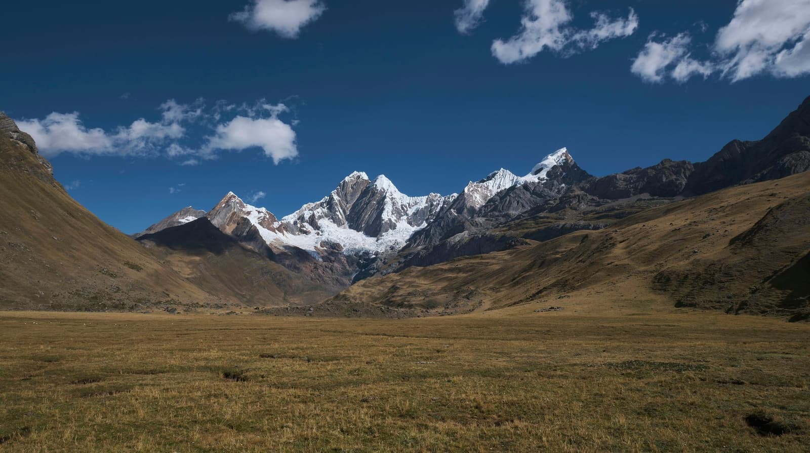
Wide open puna grassland stretching toward a wall of snow-capped peaks on the huayhuash circuit, framed by golden-brown slopes under a deep blue sky with scattered clouds
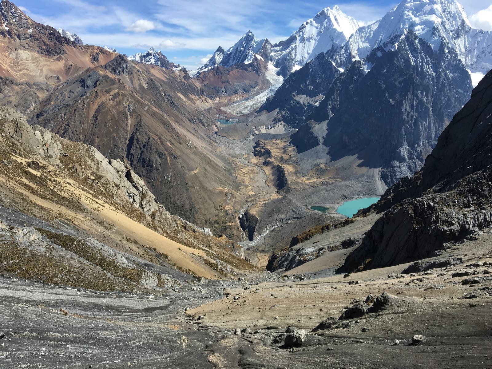
Wide glacial valley on the huayhuash circuit viewed from high altitude, with a turquoise glacial lake gleaming on the right, a braided meltwater stream winding down the center, and snow-capped peaks rising sharply under a blue sky

Day 8

Santa Rosa Pass / Cutatambo Camp

  • Santa Rosa Pass· 5,057 m (16,591 ft) · Highest point of the trek
  • HikePampa Cuyoc → Santa Rosa Pass → Cutatambo · 5.2 km (3.2 mi) · 5–6h
  • OvernightCutatambo camp · 4,250 m (13,943 ft)

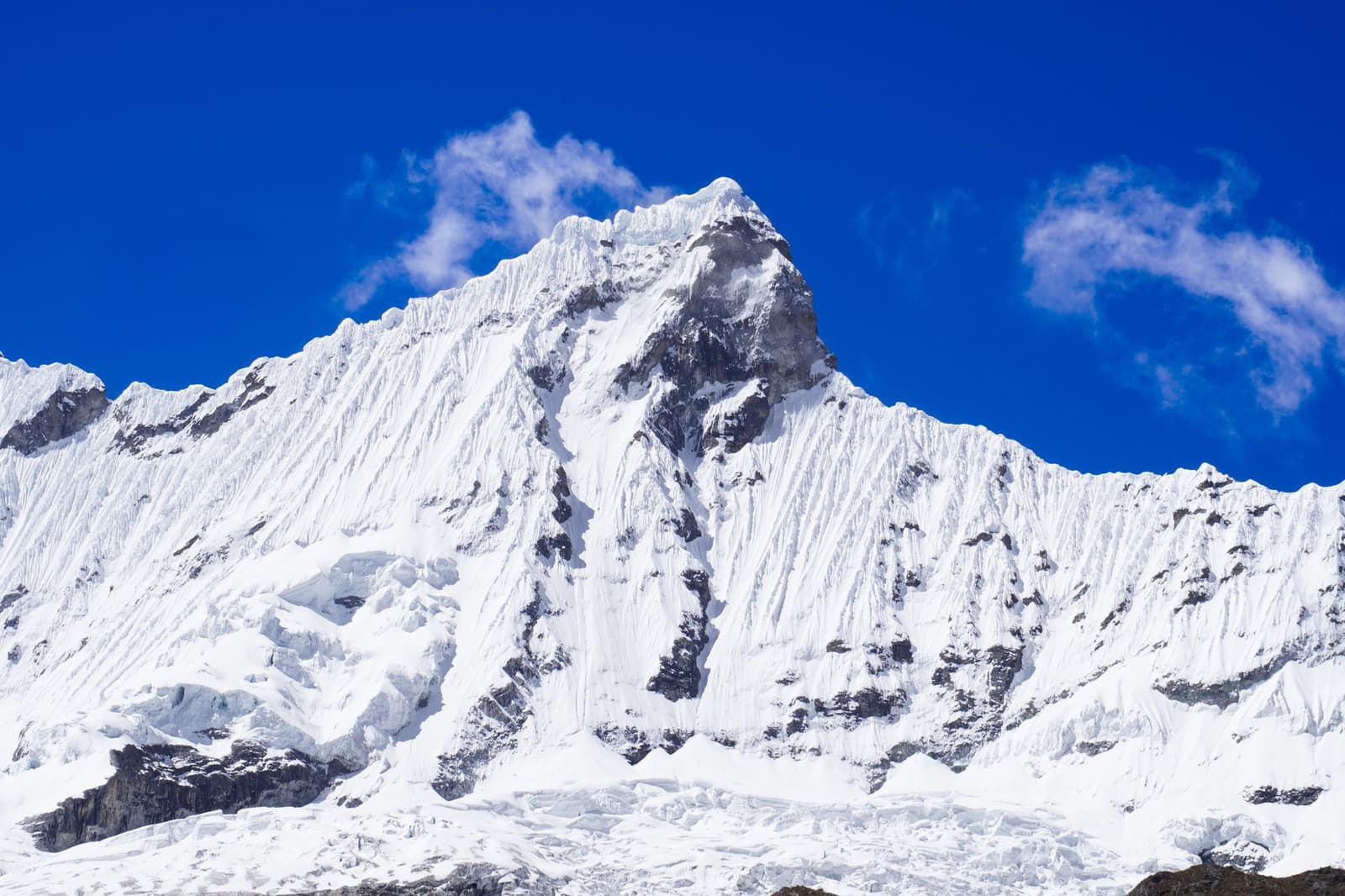
A very steep climb straight out of camp leads to Santa Rosa Pass, the highest point of the Huayhuash Circuit. The panorama covers Yerupajá, Siula Grande, Sarapo, Rasac, and Jurau.

The day is short in distance but slow and steep on the way up and steep on the way down. Camp is at Cutatambo, in the Calinca Valley, close to the site of English mountaineer Joe Simpson’s camp before his climb of Siula Grande in 1985. Sarapo, Carnicero, and Trapecio are in view from the tents.

Meals included: Breakfast / Lunch / Dinner

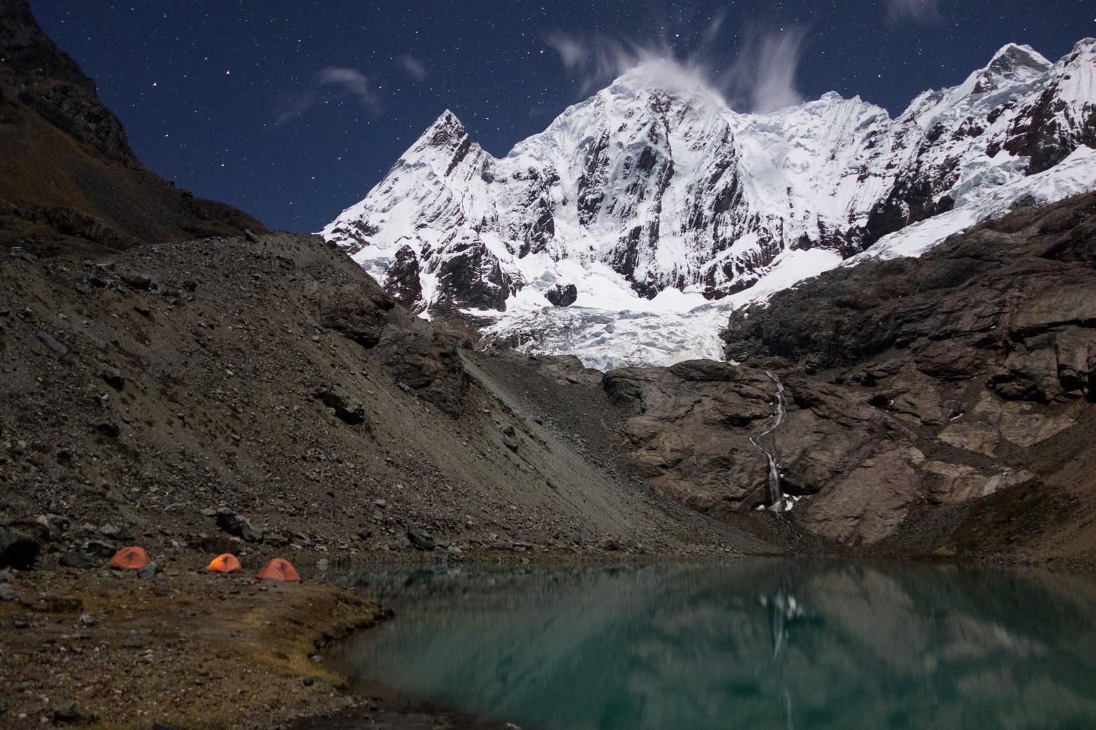
Three orange tents pitched beside a glacial lake at night on the huayhuash circuit, with snow-covered peaks, a glacier tongue, and a star-filled sky reflected in the still water
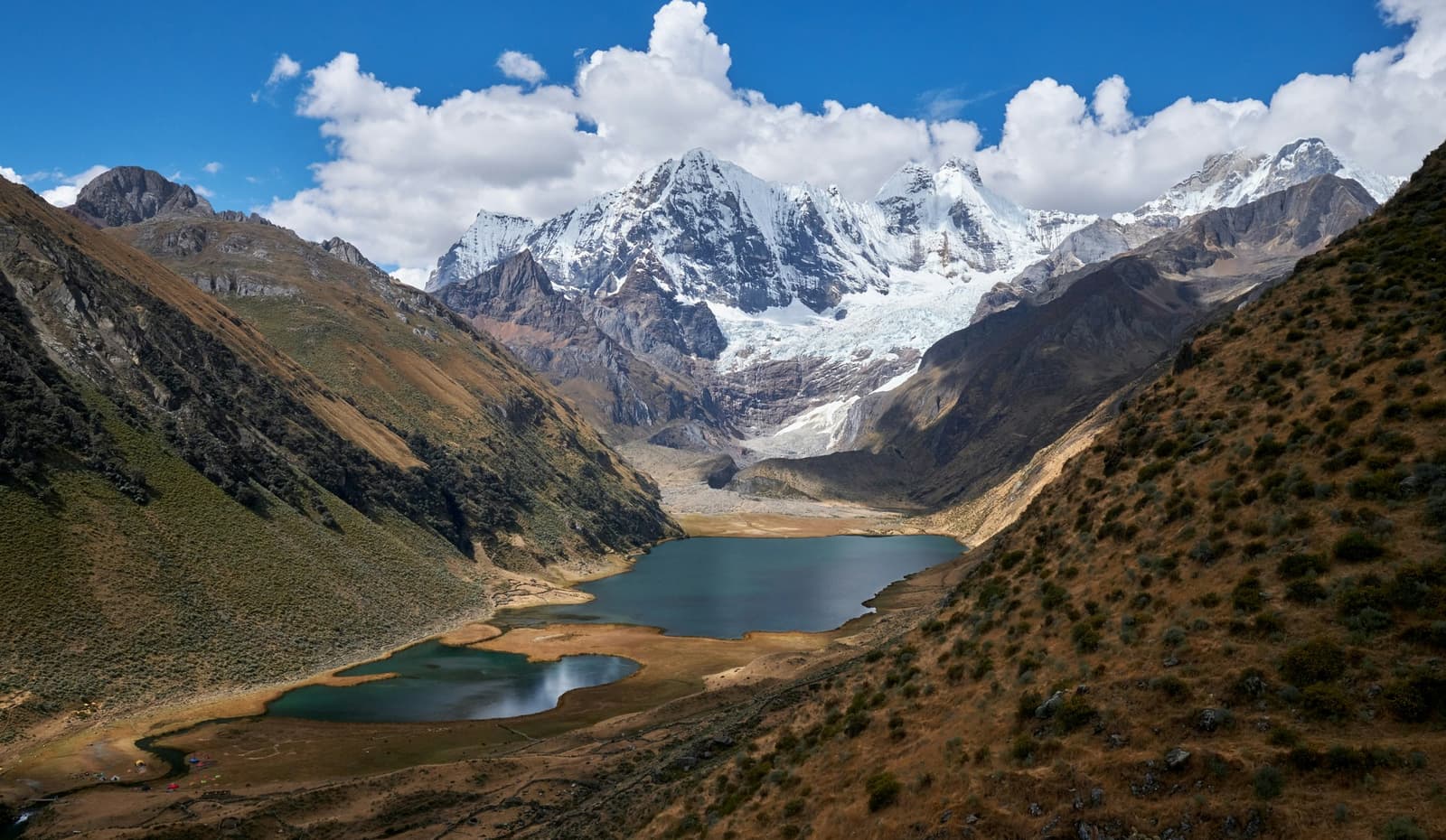
Aerial view of two turquoise glacial lakes in a high-altitude Andean valley on the huayhuash circuit, with snow-capped peaks and a hanging glacier rising behind them under a blue sky with white clouds

Day 9

Rest Day at Cutatambo / Optional Hike to Cerro Gran Vista

  • Rest daySecond night at Cutatambo · 4,250 m (13,943 ft)
  • Optional hikesGlaciers and lakes, Joe Simpson’s base camp, or Cerro Gran Vista
  • Cerro Gran Vista· Lookout over several peaks of the range

After six days on the move, you are free to decide what to do. You can stay at the campsite and rest or explore the glaciers and lakes around it.

Two optional walks start from camp: one to the site of Joe Simpson’s base camp and the other up Cerro Gran Vista, a lookout over several peaks of the Cordillera Huayhuash.

Meals included: Breakfast / Lunch / Dinner

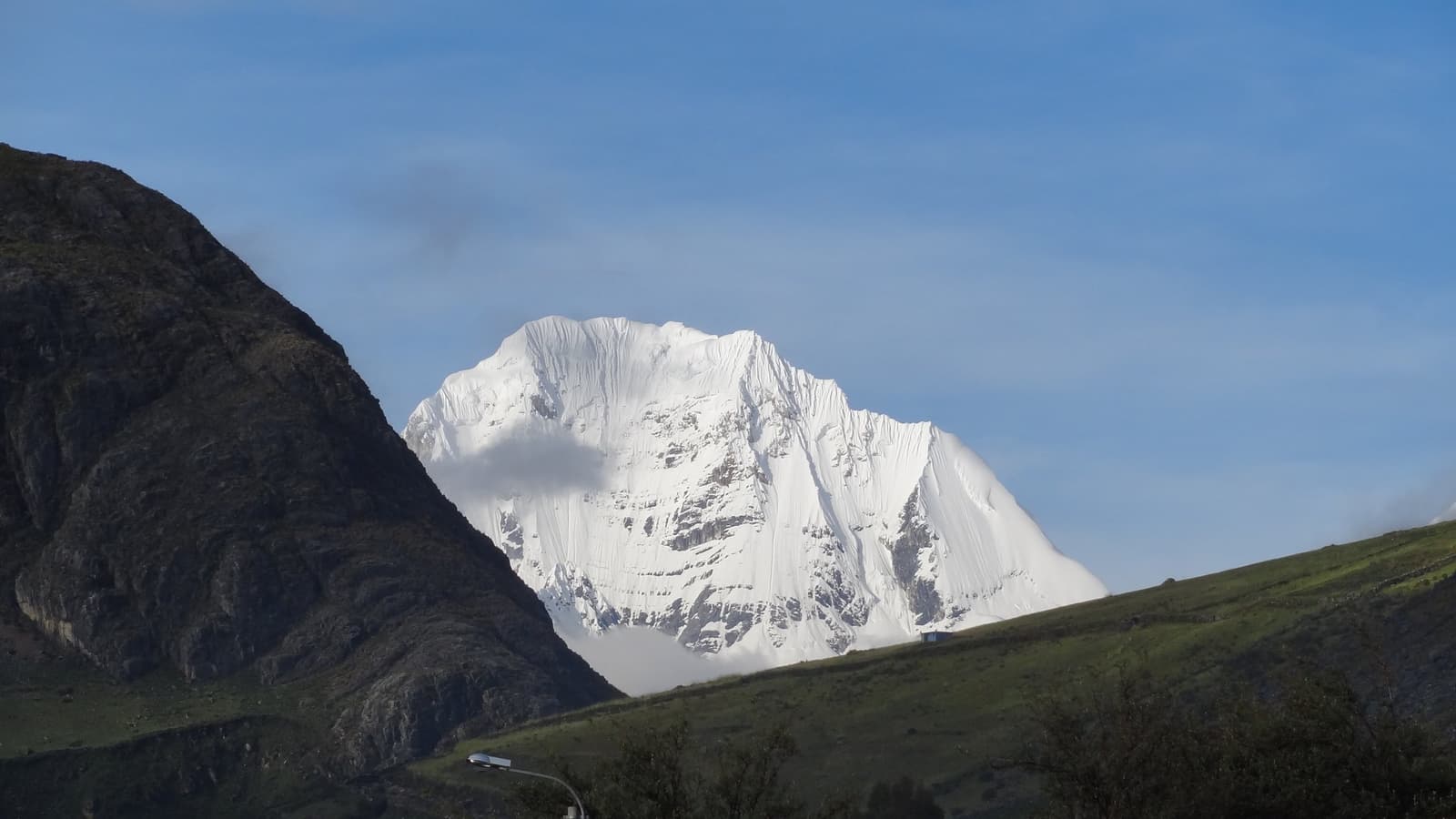
A broad, heavily glaciated snow-capped peak rises above green Andean hillsides on the huayhuash circuit, framed by a dark rocky ridge on the left under a clear blue sky
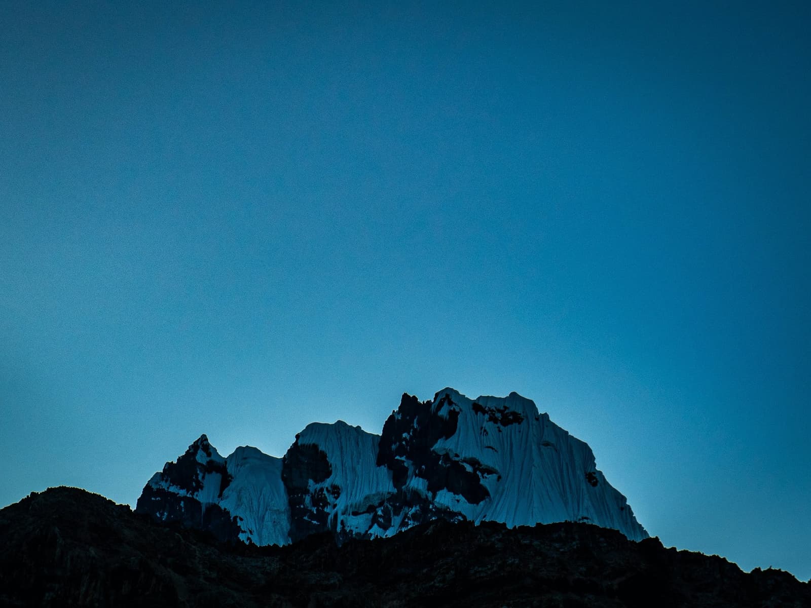
Snow-draped rocky summit of the huayhuash circuit glowing faintly against a deep blue twilight sky, with dark forested ridgelines silhouetted in the foreground

Day 10

Sarapococha Valley / Huayllapa Village / Climb to Huatiac

  • HikeCutatambo → Huayllapa → Huatiac · 16.5 km (10.3 mi) · 8–9h
  • Huayllapa village· 3,577 m (11,735 ft) · Lowest point between the first and last camps
  • OvernightHuatiac camp · 4,320 m (14,173 ft)

Past waterfalls, walk back down the Sarapococha Valley to the warmer, cultivated land around the remote village of Huayllapa. In the afternoon, another steep climb leads to Huatiac, a high grazing meadow in the shadow of Diablo Mudo.

No pass is crossed today, but it’s probably the hardest day of the whole trek due to the long distance, tough climb, and often warm weather.

Meals included: Breakfast / Lunch / Dinner

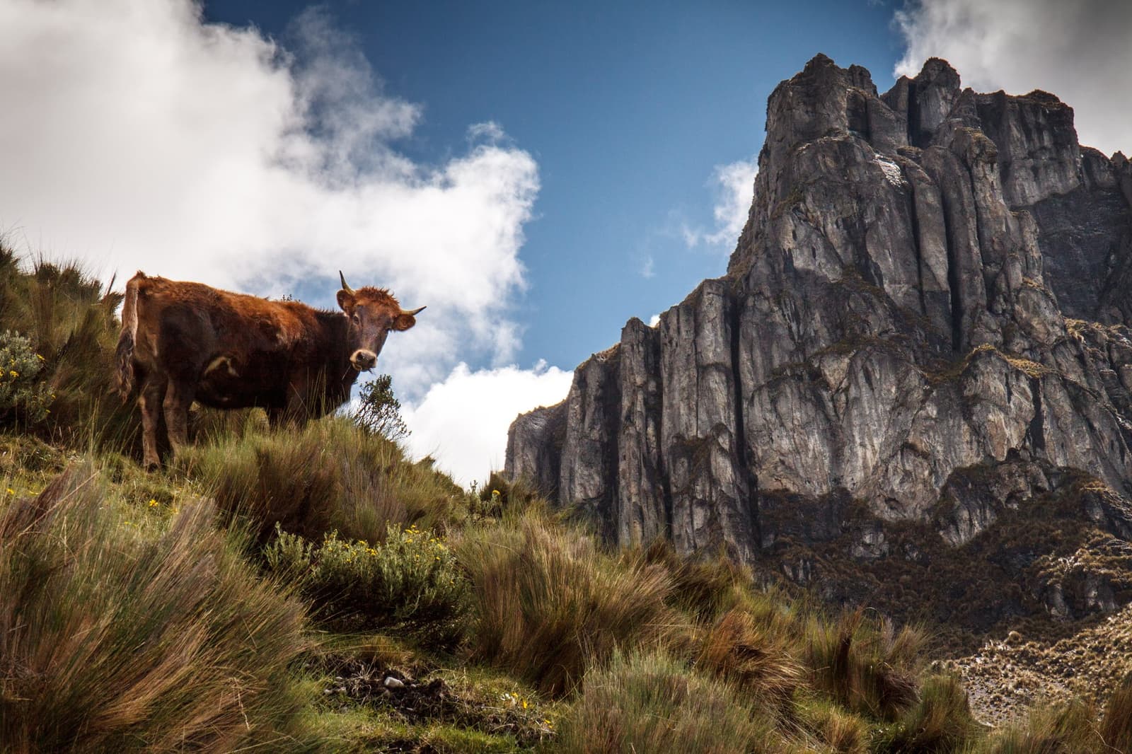
A rust-brown horned cow stands on a grassy highland slope along the Huayhuash circuit, with tall jagged rock cliffs rising sharply into a partly cloudy blue sky behind it
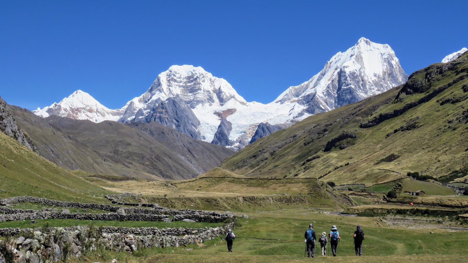
A group of five trekkers with backpacks and trekking poles walks across a wide green valley on the huayhuash circuit, with snow-capped Andean peaks and a visible glacier rising under a deep blue sky behind them
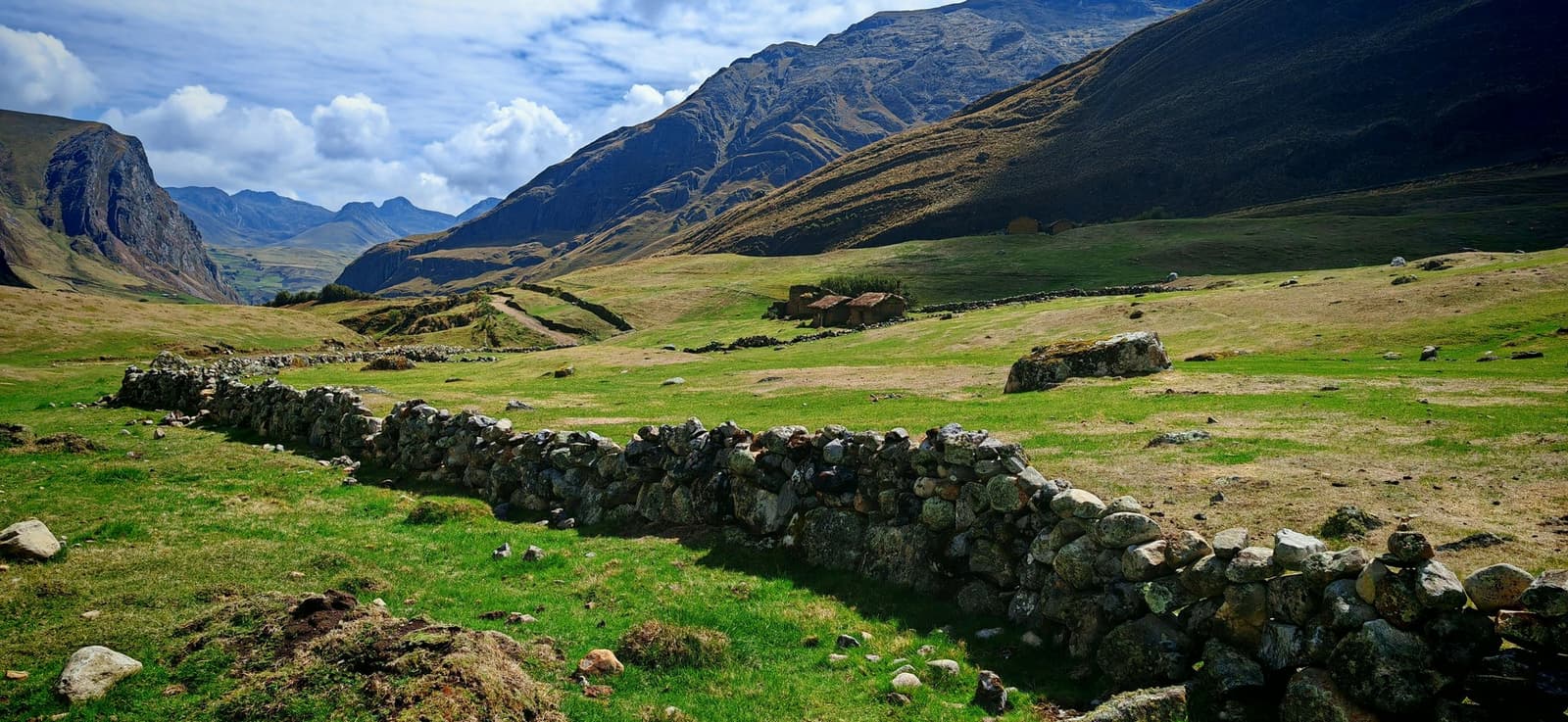
Ancient dry-stone walls cross a broad green high-altitude valley on the Huayhuash circuit, with a ruined stone structure in the middle distance and steep Andean peaks rising under a partly cloudy sky

Day 11

Punta Tapush Pass / Gashpapampa Camp

  • Punta Tapush Pass· 4,770 m (15,650 ft)
  • HikeHuatiac → Punta Tapush Pass → Gashpapampa · 6.5 km (4.1 mi) · 4h
  • Sunsetbehind Mount Diablo Mudo, seen from camp

After a tough day, this is an easy one. Cross Punta Tapush Pass and walk about one hour downhill to the next camp, at Gashpapampa.

At 4,520 m (14,829 ft), it is the highest camp of the trek. The sun sets behind Mount Diablo Mudo.

Meals included: Breakfast / Lunch / Dinner

Snow-covered peaks of the Cordillera Huayhuash glowing deep orange and pink under alpenglow at sunrise, with steep glaciated ridgelines and exposed rocky faces against a clear blue-grey sky on the huayhuash circuit
Snow-capped peaks of the cordillera huayhuash glowing amber and gold under the last light of sunset, with dark ridge silhouettes in the foreground and a band of heavy cloud above

Day 12

Quenual Forest / Yaucha Pass / Lake Jahuacocha

  • Quenual forestin the Angoshcancha Valley
  • Yaucha Pass· 4,850 m (15,912 ft) · Distant views of the Cordillera Blanca
  • HikeGashpapampa → Yaucha Pass → Jahuacocha · 9.2 km (5.7 mi) · 4–5h

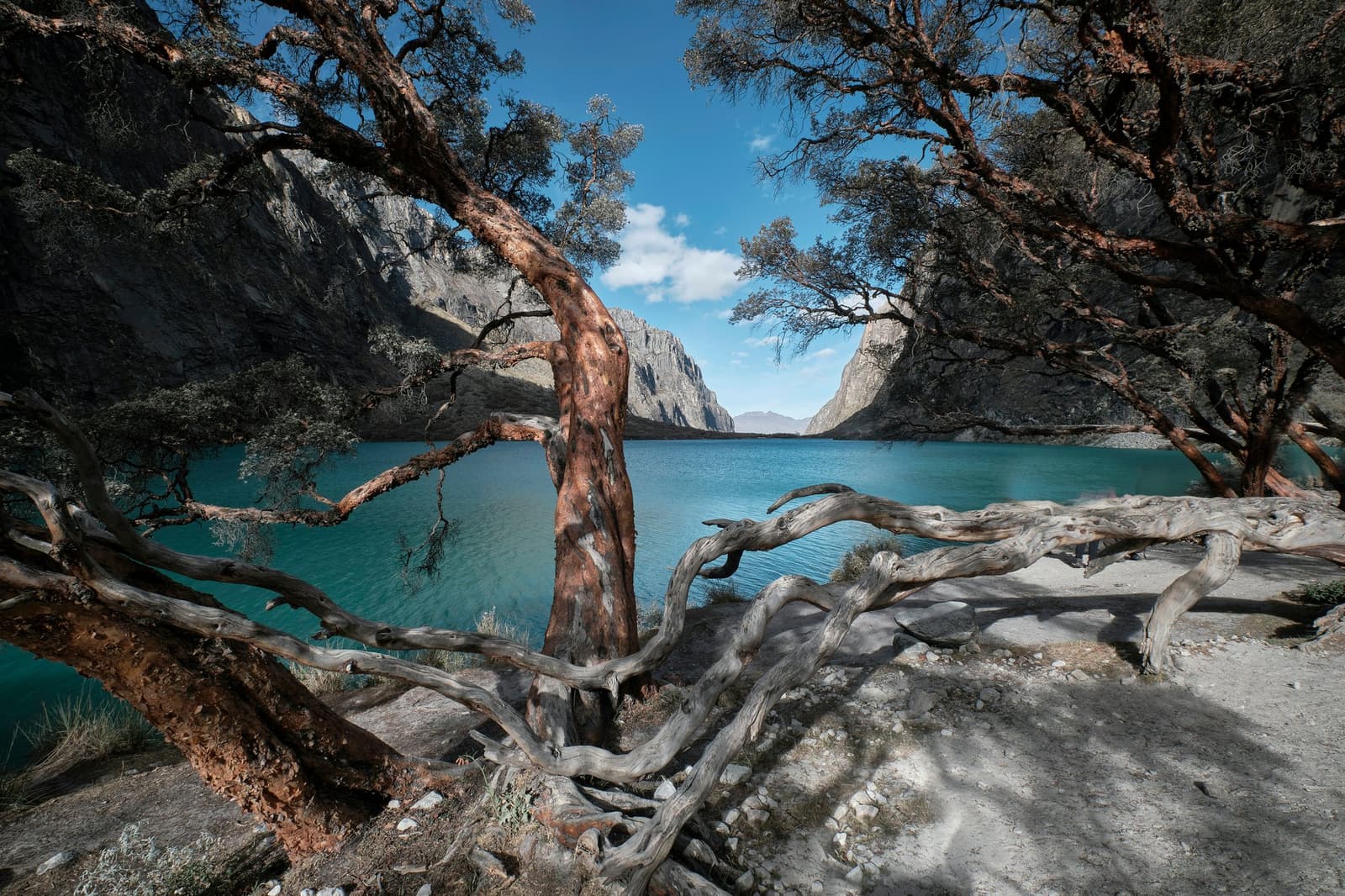
The morning starts with a descent into the Angoshcancha Valley through a forest of quenual, the paper-bark tree of the high Andes. From there, climb to the scree-covered Yaucha Pass.

On a clear day, the pass gives views of the highest Huayhuash peaks and, far off, of the Cordillera Blanca (great spot for condors). A long descent then brings you to Jahuacocha, a lake at 4,050 m (13,287 ft) and one of the scenic high points of the whole range.

Meals included: Breakfast / Lunch / Dinner

Three turquoise glacial lakes sit in a high Andean valley on the huayhuash circuit trek, ringed by jagged snow-capped granite peaks and steep rocky cliffs under a deep blue sky
Gnarled, weathered trees with twisted driftwood branches frame a turquoise glacial lake on the Huayhuash Circuit, with sheer granite cliffs rising on both sides under a blue sky

Day 13

Rest Day at Lake Jahuacocha / Optional Hikes / Trout Fishing

  • Rest daySecond night at Lake Jahuacocha · 4,050 m (13,287 ft)
  • Optional hikesRondoy Pass or Lake Solteracocha, below Yerupajá
  • Trout fishingin the lake and the nearby river

Spend the day at the lake, under the glaciated west faces of Yerupajá, Jirishanca, Rasac, Rondoy, and El Toro. Rest, walk around and above the water, or hike to Rondoy Pass or to Lake Solteracocha.

Trout live in both the lake and the neighboring river, offering the group a chance to fish for their own dinner. Bird life is abundant here, with puna ibis and Andean geese among the species.

Meals included: Breakfast / Lunch / Dinner

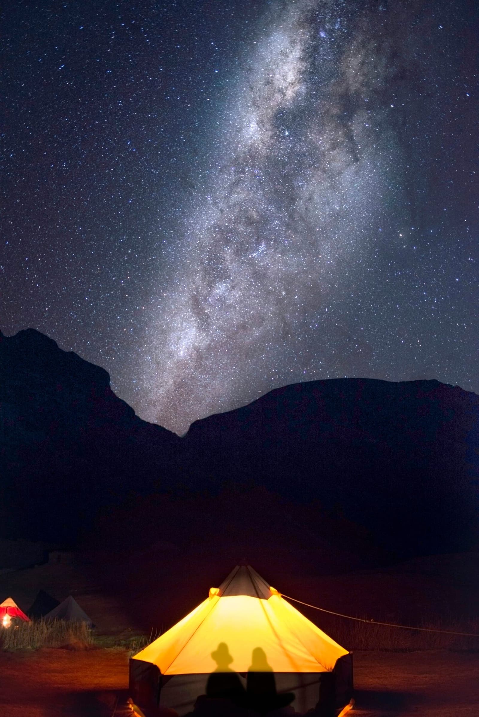
A glowing tent lit from within casts two silhouettes against the fabric, with the Milky Way arching over a dark mountain ridge on the huayhuash circuit
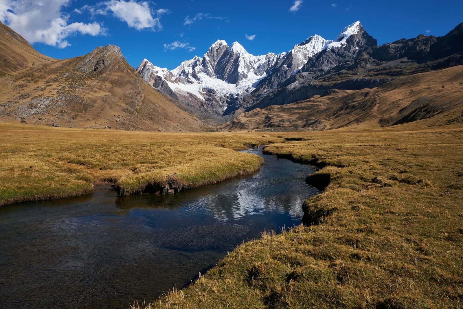
A clear glacial stream winds through golden puna grassland on the Huayhuash circuit, leading the eye toward a cluster of snow-capped peaks under a deep blue sky
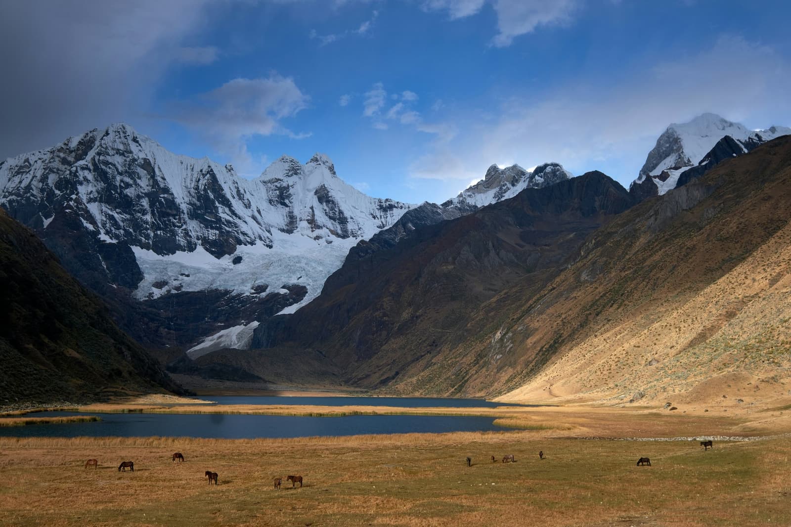
Horses grazing on golden puna grassland beside a glacial lake on the huayhuash circuit, with snow-capped peaks and a hanging glacier rising sharply behind the valley

Day 14

Mancanpunta Pass / Descent to Pocpa / Drive to Huaraz

  • Mancanpunta Pass· 4,550 m (14,928 ft) · Last view over the ranges
  • HikeJahuacocha → Mancanpunta Pass → Pocpa · 11.5 km (7.2 mi) · 5–6h
  • DrivePocpa → Chiquian → Huaraz · 140 km (87 mi) · 4h

After an early breakfast, a gradual climb leads to Mancanpunta Pass, the eighth and last of the Huayhuash Circuit. There is a short rest at the top for a final look over the ranges.

A steep, gravelly descent ends at the village of Pocpa, at 3,550 m (11,647 ft), where the private vehicle is waiting. The drive back to Huaraz goes through Chiquian and takes about 4 hours.

Meals included: Breakfast

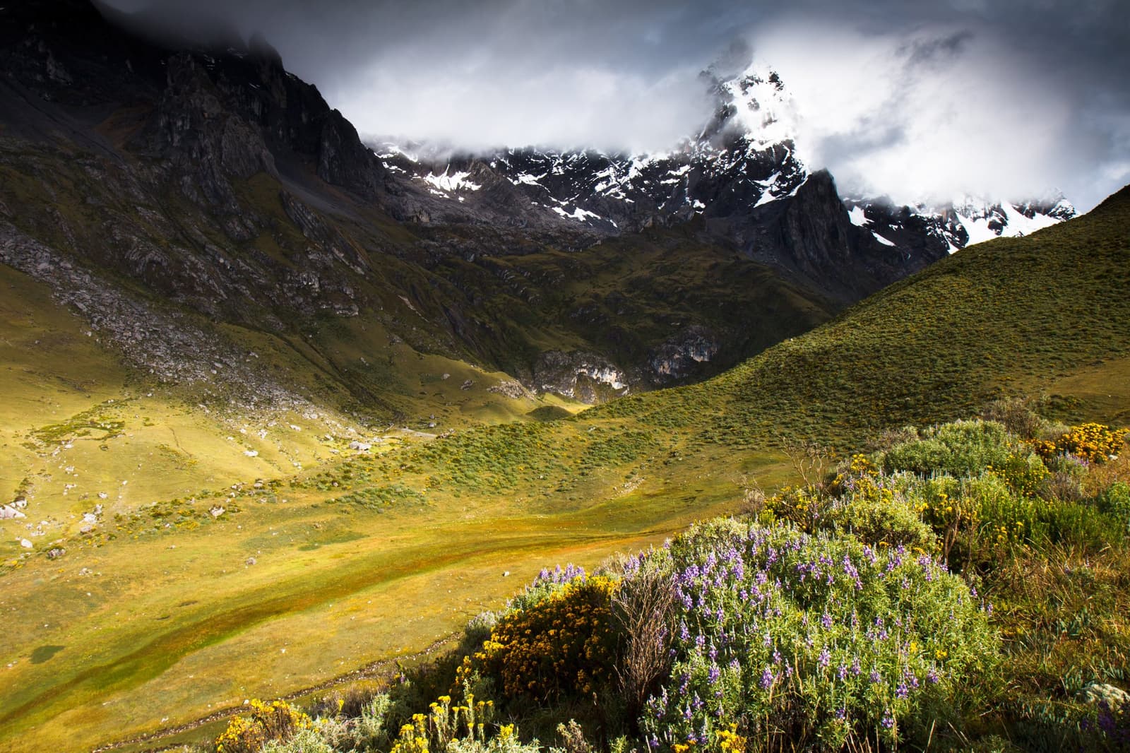
A wide glaciated valley on the huayhuash circuit, with purple and yellow wildflowers in the foreground, vivid green slopes rising on both sides, and a snow-capped peak partially hidden by storm clouds above
A clear stream winds across a wide high-altitude puna grassland on the huayhuash circuit, reflecting the deep blue sky as it leads the eye toward a wall of snow-capped Andean peaks rising at the head of the valley

What is Included

  • Round-trip transfer (Huaraz ⇌ Cordillera Huayhuash) by private vehicle: Huaraz to Cuartelhuain on Day 3 and Pocpa to Huaraz on Day 14, plus transport to and from the acclimatization hikes on Days 1 and 2
  • 2 nights at Hotel Cordillera in Huaraz (Nights 1 and 2), standard double room
  • 11 nights in double-occupancy tents with Therm-a-Rest sleeping pads
  • Duffel bag for your personal gear (maximum 10 kg / 22 lb), carried by the horses
  • All meals listed in the itinerary, and non-alcoholic drinks on the trek
  • Horses and their drivers to carry the camp
  • Cook and field staff
  • Kitchen and dining tents, solar lamps, and eco toilets
  • Entrance tickets
  • First-aid kit and oxygen tank
  • Proper garbage disposal
  • Guided tours (eight passes from Cacananpunta to Mancanpunta, the lakes Mitucocha, Carhuacocha, and Jahuacocha, the village of Huayllapa, and the optional hikes on the two rest days)
  • Certified, professional bilingual guide for the whole itinerary

Not included

  • Flight tickets
  • Transport to and from Huaraz
  • Hotel nights in Huaraz before Day 1 and after Day 14
  • Personal travel insurance
  • Sleeping bag (rental available)
  • Personal gear
  • Alcoholic drinks
  • Laundry service
  • Tips
  • Additional services and extras

FAQ

Reviews

Check availability for your trip

Free inquiry – no commitment

Who's joining the adventure?

2
0

Your next trip

Travel date*

Tell us about your trip

Contact details

How should we contact you?*

From

$ 2,700/ per person