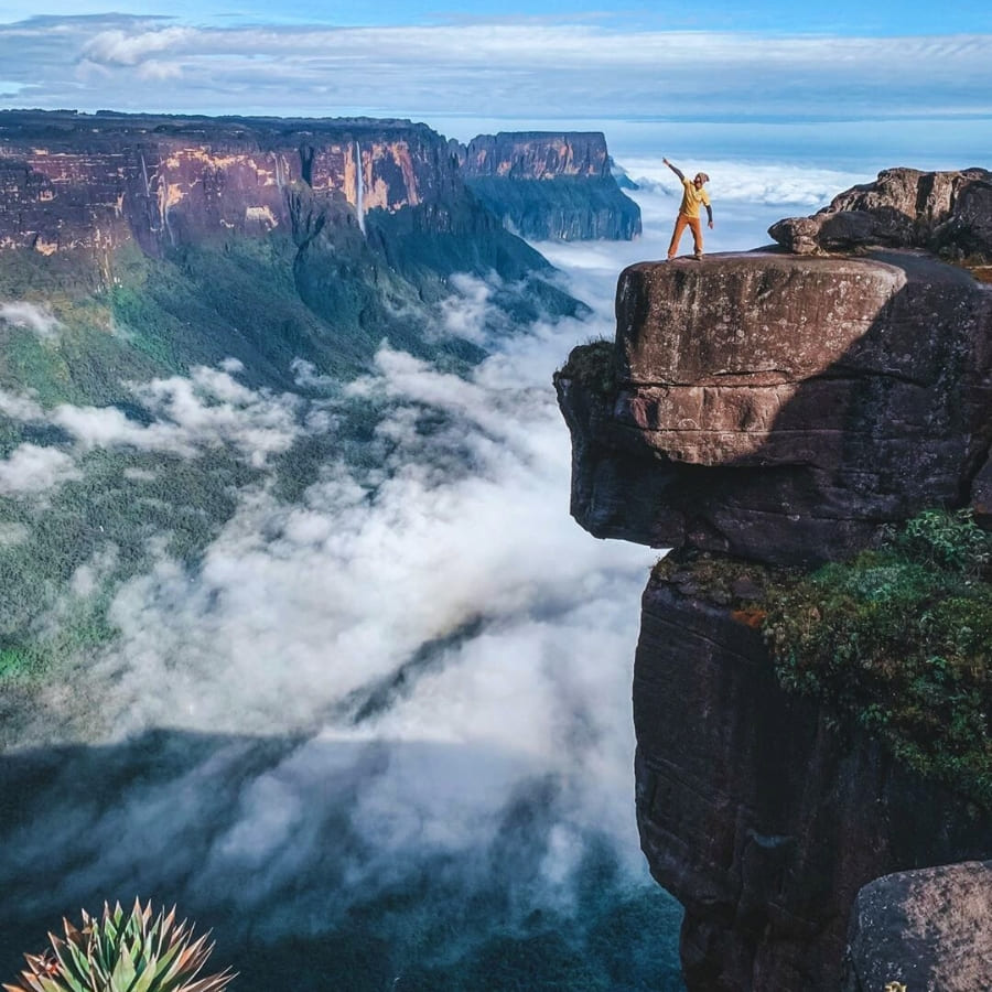
Learn key facts about Mount Roraima, including its formation, height, location, who lives there, and how to experience it responsibly.
Mount Roraima is one of the most fascinating natural wonders in South America. After all, it stretches over 30 kilometres across three countries: Brazil, Venezuela, and Guyana. In this article, you’ll discover 10 facts about Mount Roraima that explain why this flat-topped mountain draws travelers from all over the world. From ancient geology to rare animals and Indigenous culture, there’s more to Roraima than meets the eye.
Its isolation, ecosystem, and sheer cliffs have inspired curiosity and scientific study for centuries. Whether you’re planning a trip or just want to learn more, this text breaks down everything you need to know about this destination!
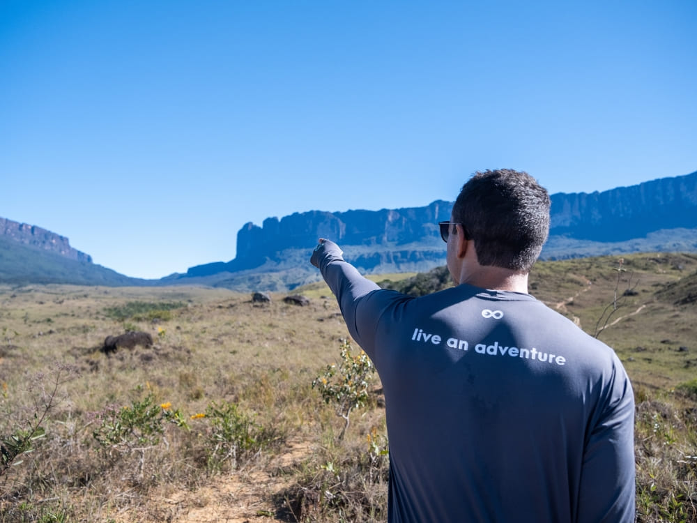
Photo: Lucas Gobatti
PlanetaEXO offers immersive ecotourism experiences to Mount Roraima that connect you with nature and local communities. If you’re seeking adventure with purpose, you’re in the right place. Keep reading!
1. Mount Roraima was formed over two billion years ago
Mount Roraima is part of the Guiana Shield, one of the most ancient geological formations on Earth. The formation of Mount Roraima dates back over 2 billion years, making its rock layers older than most mountain ranges on the planet.
This incredible age is visible in its weathered sandstone, shaped by wind and water erosion over millions of years. Its characteristic shape, a flat summit with sheer vertical cliffs, was created through natural processes that have taken place since the Precambrian era.
👉 Before planning your trek, remember to check the visa requirements
- @sarahnusslinutri
- .
2. Mount Roraima inspired Pixar’s Up – Paradise Falls
Did you know that Mount Roraima was one of the main inspirations for Pixar’s animated film Up? The movie’s iconic “Paradise Falls” was modeled after the tepuis of the Guiana Shield, especially Mount Roraima, with its vertical cliffs, flat summit, and dramatic waterfalls.
The mountain’s otherworldly landscapes gave the animators the perfect backdrop for Carl’s flying house adventure. Today, travelers who trek to the top often recognize the resemblance and say it feels like stepping straight into the movie.
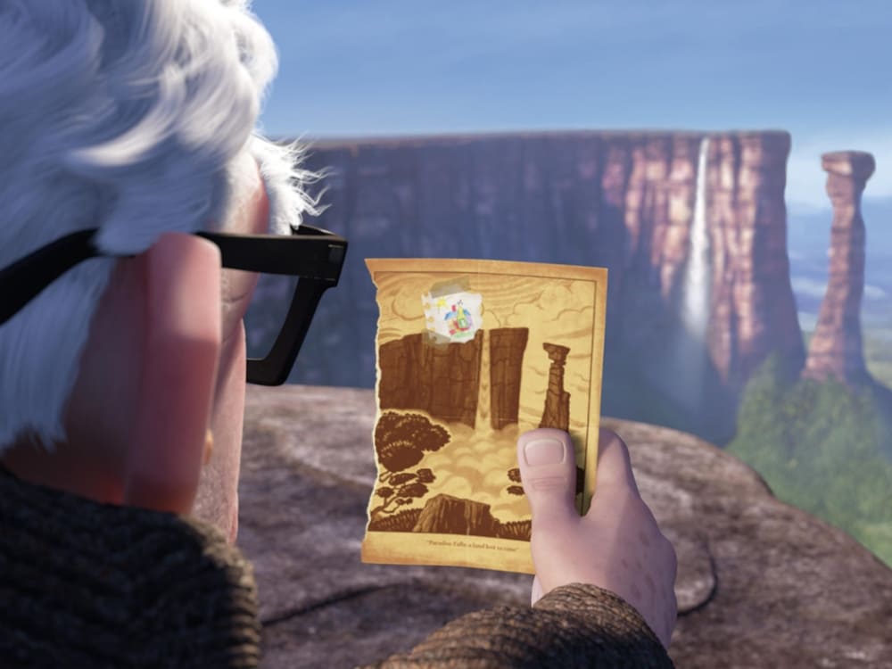
Photo: Pixar Film, Up – Paradise Falls
3. Indigenous communities that live there protect Mount Roraima’s legacy
Mount Roraima is surrounded by Indigenous communities who live there, including the Pemon, Kapon, and Taurepang peoples. The Pemon and Taurepang belong to the Carib (Karib) linguistic and cultural group, while the Kapon are part of the Akawaio-speaking peoples, who are also often classified within the Carib family.
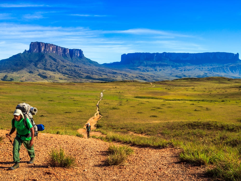
These groups are the traditional custodians of the land and hold deep spiritual ties to the mountain. They play a vital role in sustainable tourism, not only guiding visitors but also providing the logistics that make the trek possible: carrying equipment, setting up tents, preparing meals, and facilitating access to remote areas.
Their work ensures tourism benefits local economies while preserving both the environment and cultural heritage.
.
4. Mount Roraima’s height reaches 2,810 meters above sea level
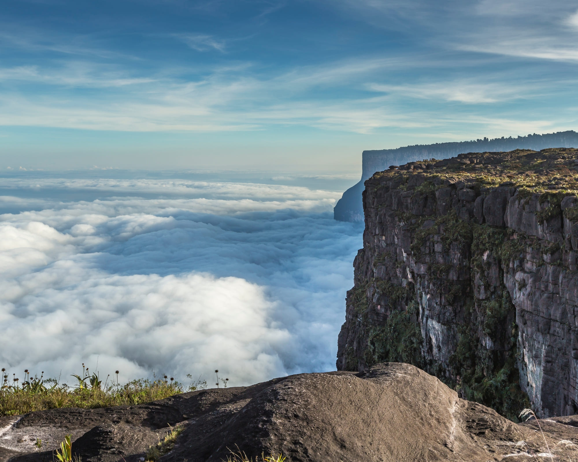
The Mount Roraima height reaches an impressive 2,810 meters (9,219 feet) above sea level, with cliffs that rise nearly 400 meters from the base. It is the highest tepui in the Pakaraima mountain range.
Although it’s not the tallest mountain in South America, its shape and prominence make it one of the most striking. The plateau covers about 34 square kilometers in the Venezuelan sector, which is the most visited area and where the main trekking route is located.
However, the mountain’s summit lies across the Brazil–Venezuela–Guyana border, and the trekking route to ascend, explore, and return covers roughly 90 kilometers in total.
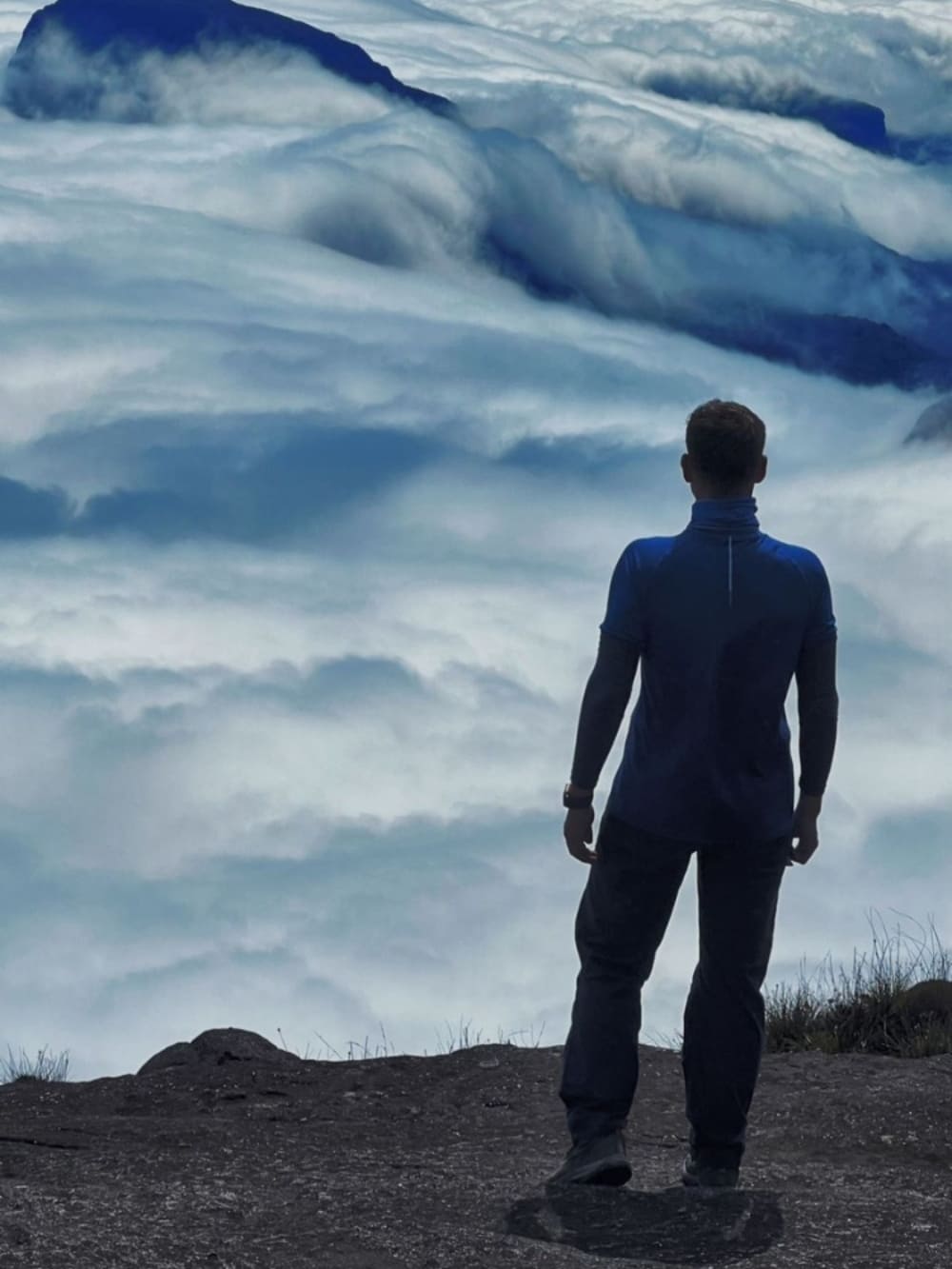
Photo: Denis Minnetdinov
5. It’s surrounded by the mystery of the “Tree of Life”
One of the most enduring aspects of Mount Roraima is the mystery surrounding its symbolic meaning. In Indigenous Pemon mythology, the mountain is believed to be the trunk of the “Tree of Life”, a sacred figure from which the world’s fruits once originated.
This idea has gained attention in recent years as visitors reflect on the mountain’s otherworldly terrain. The concept of a “living origin” resonates with those seeking spiritual connection in natural spaces. Additionally, some indigenous people also refer to the mountain as the “house of the gods.”
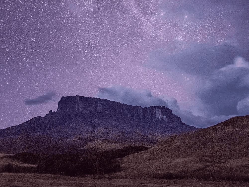
@overlandtheamericas
6. The summit has its own wildlife
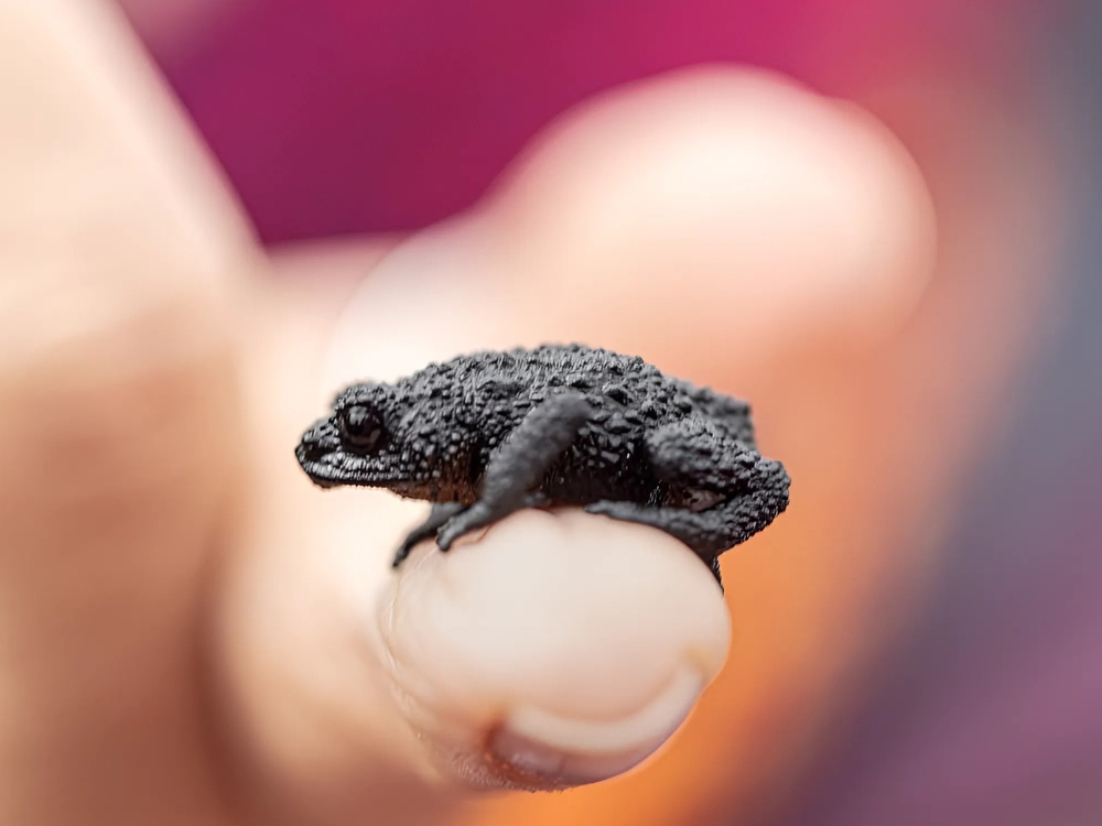
The summit’s isolation has led to the evolution of unique animals found only on Mount Roraima. These include endemic frogs, such as the Roraima bush toad, rare lizards, insects, tarantulas, and even some butterfly species adapted to the misty, nutrient-poor environment.
Despite the rocky terrain, biodiversity is rich. Carnivorous plants like Heliamphora thrive, while small rodents and birds like hummingbirds and tanagers live in sheltered areas.
The mountain is also known as the “Madre de las Aguas” (Mother of Waters), as it gives birth to several major rivers. Dozens of waterfalls cascade from its cliffs, fed by constant rainfall and mist, forming the headwaters of the Amazon, Orinoco, and Essequibo river systems.
👉 Check out 10 Tips for Mount Roraima before your trek
@cafred33
7. Mount Roraima map: On the border of Brazil, Venezuela, and Guyana
Curious about getting to the summit of Mount Roraima and where to find it on the map? The mountain straddles the borders of Brazil, Venezuela, and Guyana, with most of its mass located inside Venezuelan territory.
The most common trekking route to Mount Roraima begins in Venezuela, departing from the village of Paraitepuy, which is accessible via Santa Elena de Uairén. For travelers coming from Brazil, the nearest major city is Boa Vista, in the state of Roraima. Taking the route through Brazil provides better access to the start of the mountain trail.
From there, it’s a three-hour drive to the Venezuelan border and then 20 minutes to reach Santa Elena. This cross-border journey is a popular path for Brazilian travelers, especially those joining organized expeditions.
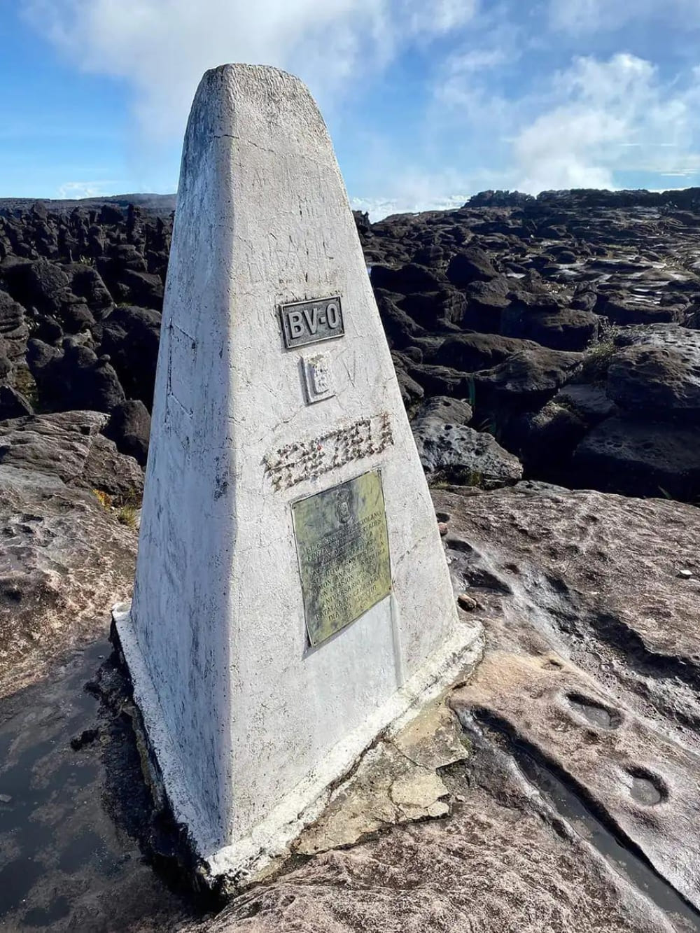
If you look at a Mount Roraima map, you’ll see the summit lies exactly on the triple border between Brazil, Venezuela, and Guyana. While most of the trekking occurs on the Venezuelan side, the mountain’s plateau itself spreads across all three countries.
.
This geographical intersection makes Mount Roraima not only a natural wonder but also an amazing geopolitical landmark in South America!
8. Reaching the top of Mount Roraima takes 6 to 8 days of trekking
While the trek doesn’t require climbing gear, it is physically demanding. Most tours take between 6 and 8 days round-trip and involve hiking over 60 kilometers through jungle, rivers, and steep terrain.
The number of daily visitors varies by season and logistics, but during peak months, it’s estimated that between 100 and 200 people may be on the trail or at different points of the mountain. The final ascent includes the “Rampa,” a narrow natural path leading to the summit of Mount Roraima, where the landscape changes dramatically.
Due to the elevation and constant cloud cover, temperatures at the summit can vary greatly, from 5°C at night to over 25°C during the day. The climate is defined more by Venezuelan seasons than Brazilian ones, with a wetter season from May to September and drier months between December and March. Sudden weather shifts are common, so visitors should be prepared for rain and cold at any time.
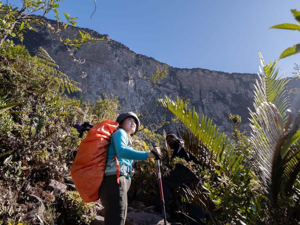
Photo: Lucas Gobatti
👉 Want to know what’s waiting at the summit? Read the full article: What’s on top of Mount Roraima?
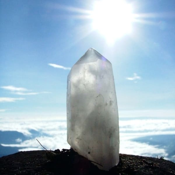
9. At the top of Mount Roraima, you can explore crystal valleys and rock formations
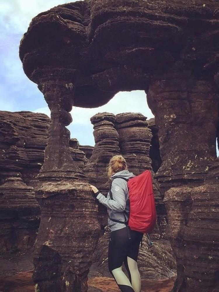
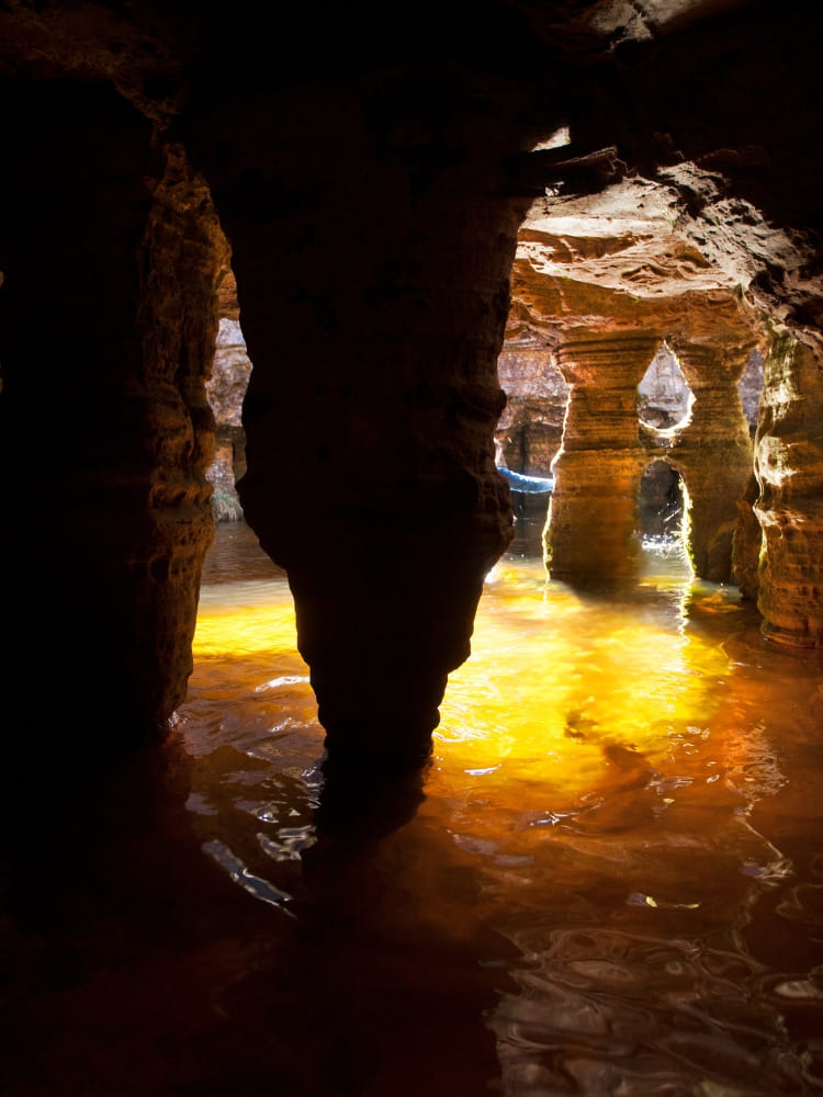
At Mount Roraima’s plateau, visitors find crystal-clear pools, impressive rock formations, and panoramic views. Sites like “El Hotel” and “Valley of Crystals” are popular stops on summit treks, each with its own microclimate and ecological quirks.
Rainfall is frequent, feeding rivers and forming “Jacuzzis” in rocky basins. Itineraries often include time for exploration, photography, and rest, allowing travelers to take in the full grandeur of the plateau.
PlanetaEXO, for example, offers a package that includes 5 nights at the top of Mountain Roraima: in other words, the ideal amount of time to explore all the possibilities of such a unique and rich place!
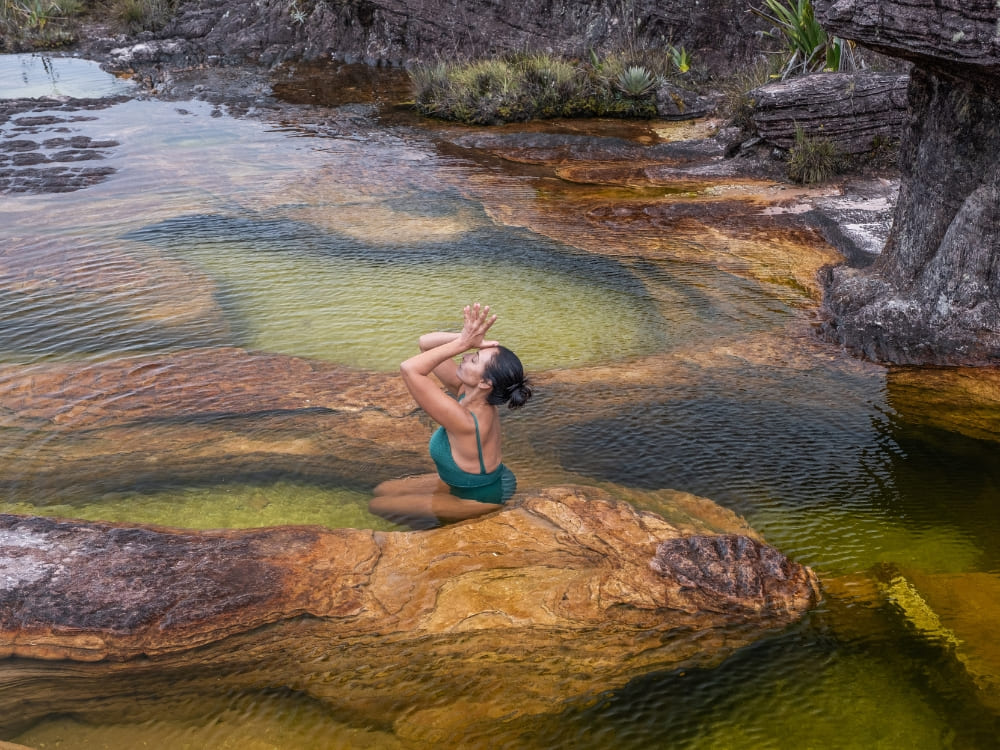
Photo: Lucas Gobatti
- @roraiamaadventures
- @na7hann
👉 Choose the 10-day expedition for extended summit exploration
10. Mount Roraima’s flat top is a result of millions of years of erosion
Geologists explain the top of Mount Roraima’s flatness through erosion. Horizontal layers of sandstone have eroded evenly over time, unlike volcanic or folded mountains that form jagged peaks.
This creates a tabletop effect that is both visually striking and scientifically fascinating. The flat terrain, combined with steep walls, makes Roraima a geological outlier among South American peaks.
Mount Roraima’s plateau consists of resistant quartzitic sandstone, which erodes slowly and uniformly. Beneath it lies a hard igneous basement, which helps preserve the flat structure. This combination prevents the formation of peaks, resulting in the mountain’s striking tabletop shape.
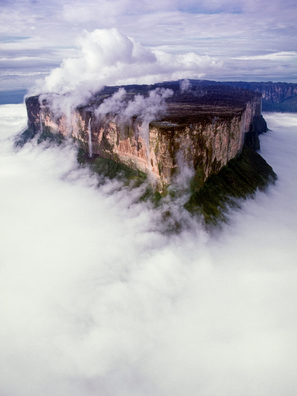
Photo: Juan Silva
Travel to Mount Roraima With Purpose
At PlanetaEXO, we believe every journey should leave a positive impact. That’s why we offer ways to explore the summit of Mount Roraima with respect and purpose.
In this way, your trip supports local communities, protects the environment, and brings you face-to-face with one of the world’s most unique ecosystems.
You’ve just learned 10 facts about Mount Roraima. Now it’s time to experience it yourself.
Explore our Mount Roraima tours and start planning your expedition today!

